HOME > 写真 > 地図・衛星写真 > 衛星写真 > 環境問題
10,000件の写真素材が検索されました。
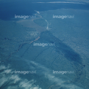
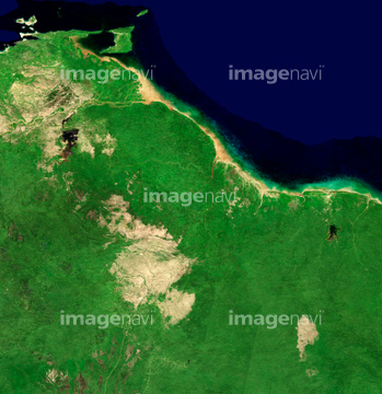
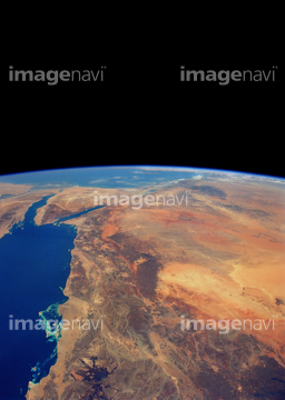
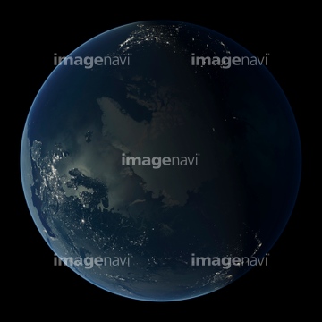
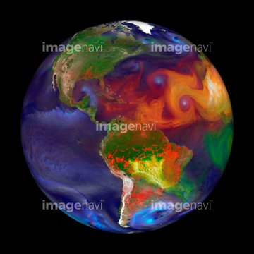
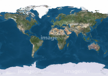
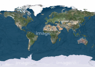
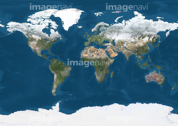
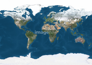
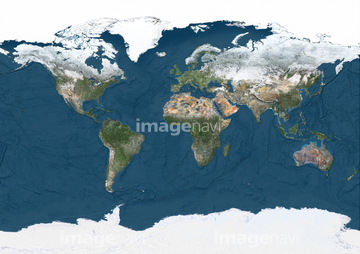
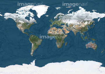
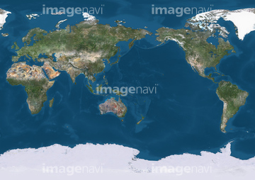
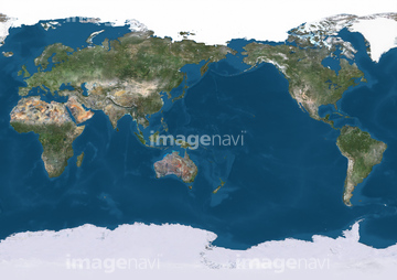
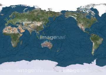
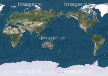
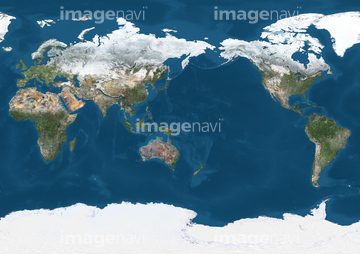
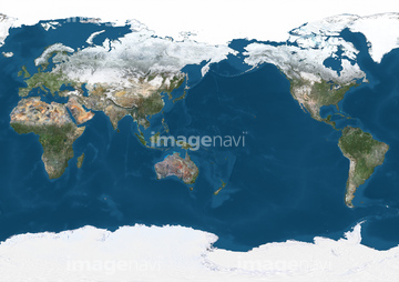
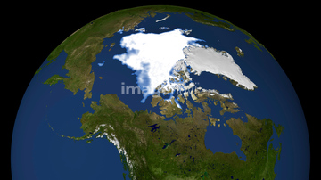
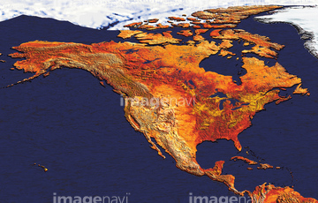
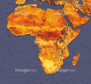
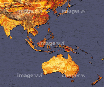
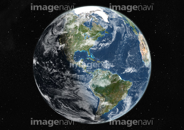
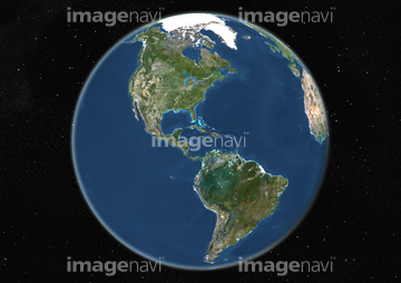
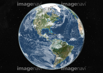
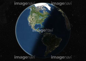
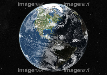
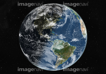
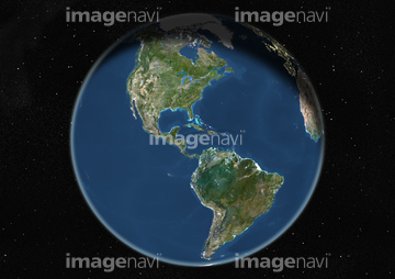
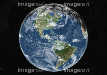
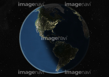
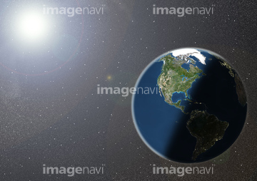
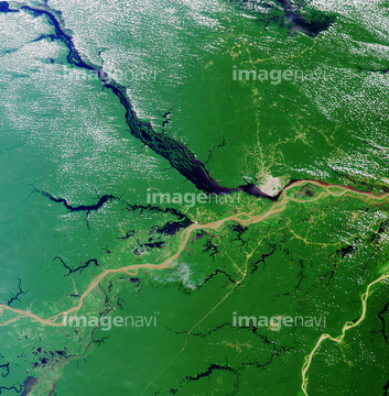
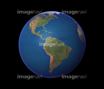
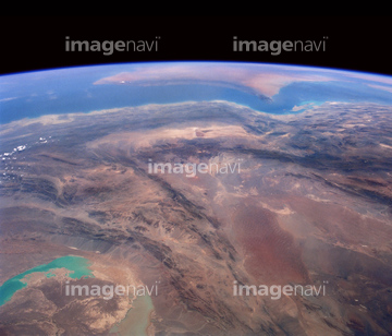
この検索結果には、宇宙から見た地球(NASA提供)、Guyana, South America, satellite image、Indus River, Pakistan, satellite image、Flooded Indus River, Pakistan、Gulf of Mexico coast, satellite image、Red Sea from spaceなどが含まれています。

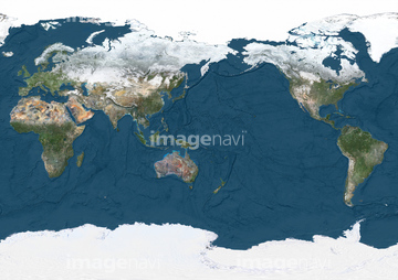
64016158

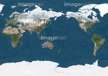
64064274
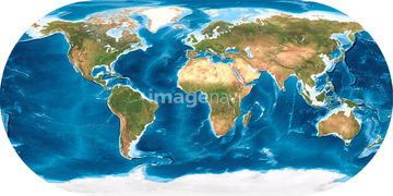
99046051
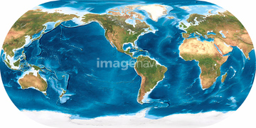
51451555

64170236

64220039
64086528

64014700

64086527


64079777


64043385

64075588

64075590
30046935


64170235


64049194

64062425


64062428

64062429


64084875

64076181


64057050

64061242


64067282

64014773

99046037
99046059


64044574


64014733
64106826
64106827

64243149


64062426


64064290


64046145

64067334


64074420

64062430

64014120
64063258
99046053
99046054
99046055
99046056
99046058

64164839


64111649

64111650

64116186

64116187

64116188

64131456


64200497

64014771

64067286


64109508

64057054

64067336
51452923
64109474
64111651
64014736

64014421

53112884
53112885
53112886

53112887
53112888
53112889
53112890
53112891

64062174

64062175


64088669

64089327


64015154

64014726
64014727
64014728
64014729
64014730
64014732


51452901

64152470

64243450
51425077
64109477
64109478
64109479
64111652
64212358


64014672

64010000

64010005
64014734
| 次ページ |
