HOME > 写真 > 自然・風景 > 宇宙 > 惑星
10,000件の写真素材が検索されました。
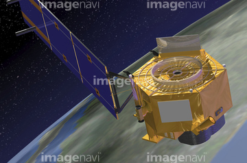
この検索結果には、宇宙から見た地球(NASA提供)、地球、地球(NASA提供)、Ground level UV exposure、CloudSat satellite、Satellite view of the Earth (north America) from s…などが含まれています。
64016859
99046036

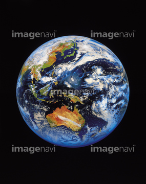
70093222

64220039
64064281
64075838

99046124
51424877

64043123
99046193
99046194
99046117
99046121

64040012

64040015

64066734
17212850
64219594
70093223
70093224
51988299
64023603

99046109
99021011
99021001
99021002
99021003
99021004
99021005
99021006
99021007
99046196
99046197
99046199
00008404
64058834
99021010
99021013
99021017
99046001
99046025
99046028
99046084
99046146
99046152
99046116
99046118
99046119
99046120
99046122

64084877

64074871
00008413
99046039
99046041
64206046
64044479
30074272
64008087
64076043
64011198
64011208
99021089
99021090
64011196
30314027
64014672
99021012
99046031
99046071
99046188
99046191
99046192
99046200
64014712
64056227
99046135

64014700

64053596

64084875

64040011

64040016

64089706

64075837

64075839

64075841
64052746
64052747
21851341
00008416
64014698

64067279
64081459
64259549
17263966
17263968
19283324
64115731
64025789


30047052
51988115
64213131


64075072

64075073
17212127

64086393
64062352
64076044

64086443

64052716
99046123
30080569
70093226
99021022

64210700
00008398
00008412
99021015
99021016
99046027
99046029
99046047
99046086
99046127
99046133
99046134
99046138
99046141
99046190

17200234
30091895
70093230
64183478
00008399
| 次ページ |
