HOME > 写真 > 自然・風景 > 山 > 世界の山
10,000件の写真素材が検索されました。
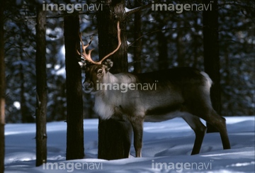
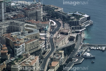
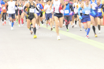
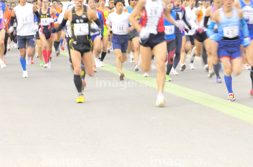
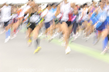
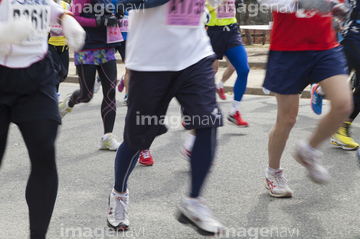
この検索結果には、アルプス山脈、トナカイ、モナコ全景、マラソンランナー、モンブラン(仏)/モンテビアンコ(伊)、市民ランナーの足元などが含まれています。
64022791
10919195
63030757
40840022
40840036
41152943
41152944
41152945
63031526
63031527
63031528
41264862
41264863
41264864
41264865
19414627
19414654
19414657
19414663
64016067
63030021
64016061
19402996
19403065
50059253
63030787
63031333
10004629
00025675
70125425
70179842
64259344
19255598

30396486
30396490

64195627
31459286
64077978
19414619
19414622
70212750
50151759
70282086
70282087
70282088
70282094
70282095
70282096
70282097

19402988
50006512
70125426
10012925
10012926
70179798
70179826
53156969
53156970
53156971
53156973
64152652
64152659

64152660
64152664
64244300
70179836
70179843
00025669
63030731
19253940
19253941
52000146
70179832
70179833
30046296
19402989
19403068
30439595
70178574
63030026
63030038


51452877
51452880
51452886
| 次ページ |
