HOME > 写真 > 自然・風景 > 宇宙 > 地球
10,000件の写真素材が検索されました。
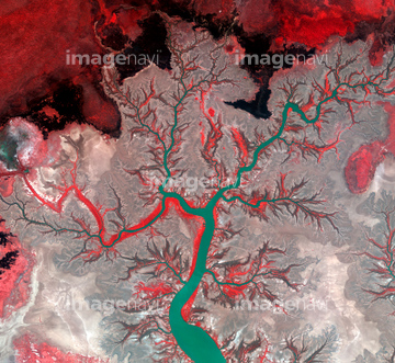
この検索結果には、Lena river delta, satellite image、Palm Jumeirah, satellite radar image、Ring of Gullion, satellite image、World at night, satellite image、Sidoarjo mud flow, satellite image、Forest fire, Alaska, satellite imageなどが含まれています。
64039902

64044741
64096984

64075683

64041342

64093933

64045782
64011210


64011221

64011223

64011225

64053315

64053684

64040007

64040009

64040010

64040011

64040012

64040013

64040014

64040015

64040016

64074360

64074793

64011214

64011215

64011231


64074794


64053385


64067295

64047110

64074359

64011229

64087817

64259482

64259490

64040980

64041390

64073666

64074418

64074420

64210710

64047389

64053686

64041384

64041895

64073664

64074421

64011203

64011211


64074422
64086389
64062357

64074795


64088728

64053256

64053257

64053258

64053259

64053260

64053368

64053369

64053371

64053372

64053561


64074792
64251605

64086667

64041383
64074361


64075684
64086398


64066734
64056978


64087305


64096983

64043083

64214597

64242042

64046357


64049125

64073662

64074424

64011200
64048954
64048955
64048956
64048957
64048958
64049175
64049177
64049179
64049181
64049183
64049185
64049197
64049203
64049220

64040177

64040178
64259491

64040008

64011230
64022944
64040019
64011202
64011205
64254515
64115720
64252846


64062426

64072485

64072491

64075191
64087306

64072484

64072487


64072492


64067343

64076173

64067292
64260474


64073665
64056227
64057044
64087844
64083781
64096039
64259647

64059340

64059343

64059356

17266911


64059355


64046391
64048952
64048953
64048959
64048960
64048961
64049174
64049176
64049178
64049180
64049182
64049184
64049196
64049198
64049202
64049204

64041345
| 次ページ |
