HOME > 写真 > 自然・風景 > 宇宙 > 地球
10,000件の写真素材が検索されました。
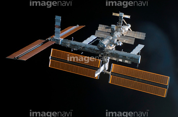
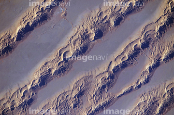
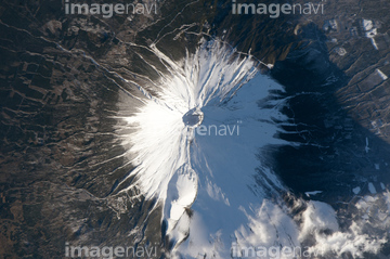
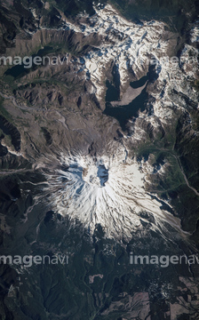
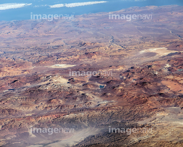
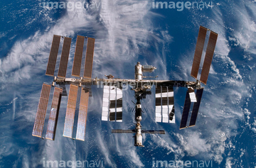
この検索結果には、Mount Tambora, Indonesia, satellite image、Tibesti Mountains, ISS image、Namib desert, ISS image、International Space Station, 2002、International Space Station, 2000、International Space Station, August 2007などが含まれています。
64040181
64086419


64053700

64047110


64053684

64058622

64045640

64045641
64045642

64045643

64045644

64045655
64050815
64050818
64050820
64050839
64050842
64050843
64075082
64131364
64053318

64045782

64131367
64025116

64045653

64045654
64053596
64053599
64072651
64072652

64041384
64131459

64087817


64214597

64067295

64075683

64067292
64047084

64129762


64252934
64131368
64050837
64050840
64131322

64053686

64040182

64040183

64041386

64041387

64041388

64041895
64039902


64086685

64041342

64086444


64235338

64044741
64131362
64131461
64131369
64025569
64025570
64025571

64098804
64087826


64131460
64075836
64084395
64063283
64086389
64086398

64051876
64025735
64115739
64115743
64062357
64089702


64074359

64067293

64088728

64043083


64242042

64059353


64059355


64062174

64062175


64064274


64040011

64040012

64040015

64040016

64040166

64040177

64040178

64040203

64040204

64040205

64040206

64040980

64041345

64073662

64073664

64073665

64073666

64074792

64074902
64010398

64011214

64011231

64066108

64066109

64066110

64066111


64066113


64067274

64067275

64067276

64067277


64067279


64072484

64072485

64072486

64072487


64072490

64072491

64072492


64072494

64072495

64072496
64064295

64098807
64071038
64123560

64040184


64210710

64098808
64259656
64211648
64107664
64131321
64131334
64131363
64131365
64131366
64131457
64131470

64062356

64063131
| 次ページ |
