HOME > 写真 > 自然・風景 > 宇宙 > 地球
10,000件の写真素材が検索されました。
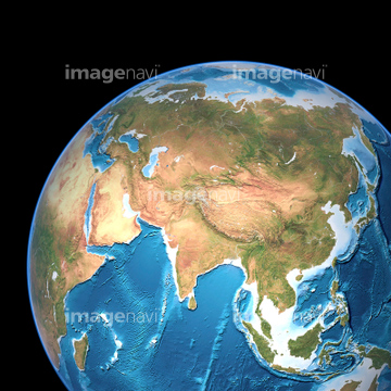
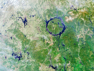
この検索結果には、Taiwan, satellite image、Sidoarjo mud flow, satellite image、Sinai Peninsular from space、Baja California, Mexico, from space、Lake Tai, satellite image、Upheaval dome, USA, satellite imageなどが含まれています。

64041392

64041391


64041386

64041387

64041388

64011221

64011223

64011225


64011229


64053686

64011200

64041383

64041390

64011207

64074792

64074793

64074794

64074795
64011202

64011203
64011205
64011210

64011211

64011214

64011215

64011230

64011231

64040007

64040008

64040009

64040010

64040011

64040012

64040013

64040014

64040015

64040016
64040019

64067293

64041384
64040017

64057572

64074902

64041895
64049119

64049125

64098804

64098808

64075072

64075073

64087817

64098806

64040018

64067342

64067344

64214597
64011218
64040026

64047110


64053684
64067283

64067291
64098803
64096987

64098807

64057574

64041342

64040980

64067330


64073662


64210710

64077174
64059213

64051876


64105661

64016257
64252934

64123560
64123571
64065667


64088450

64014733

64041345

64129762


64074359
64204733
64204734

64044741


64057573

64057615
64011204

64057617


64243149
64045775
64073659

64074360

64047389

64098673

64098684

64098688

64098690

64098702
99021128
64059209

64072484

64072485

64072486

64072487


64072490

64072491

64072492


64072494

64072495

64072496

64045782

64040182

64040183

64040184


64139332


64063265

64067292


64085875

64041230

64047888

64088667

64253111

64253112

64009992

64045766

64139331

64139333
64097127

64100567

64067343

64059203

64105663

64043083

64073664

64073666


64242042

64046391

64053325

64088728

64059340


64059347

64059350

64059352

64059353
64252742
64106828

64064274


64043123
| 次ページ |
