HOME > 写真 > 地図・衛星写真 > 衛星写真 > 環境問題
10,000件の写真素材が検索されました。
この検索結果には、Earth from space, illustration、Earth under a microscope, illustration、Earth from space during an eclipse、SPOT 5 satellite, artwork、Adriatic Sea from space, illustration、Greenland, artworkなどが含まれています。
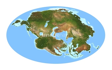
64044035

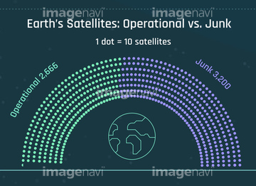
64078186
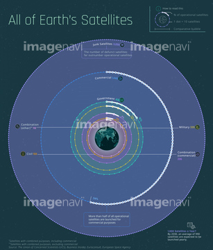
17262381

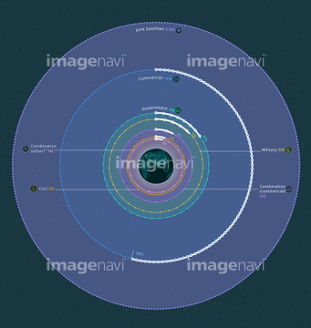
64062175
64078166
64078167
64075792
17266919

64062174


64109745
64043287
64043838
17262378
17266911
64109747
64109750

64218473
64078185

64011490
64254515
64043836
64011489

64089706
64111791

64111792

64044426

64044427

64041345


17262379
17262380
17263966
17263968
17263973
17263974
17263975
17263976
17263977
17263978
17263982
17263983
17263984
17263986
17266918
64011702
17262368
17262371
64075834

64075464

64041342

17269170
64075672
64075673
64075674
64075675
64075676
64075793
64075794
64075884
64075886
64075887
64075888
64075889
64075890
64173143
64173144
64255396
64109761
64216227
64220219
64010398

64074871
64075829
64075831
64075832
64075835
64075836

64075837
64075838

64075839

64075841
64075844

64075849
64048528


64168208


64075885
64075891
64097599


64217944
64217945
64171614
20571405
64109763
64209933


64087097
64109766
17263969
17263971
64078175
64078176
64078180
64078181


64097527
64075830
64078242
64168473
64048263
64123560
17262366
17262367

64075840
64075843
64064289
64123571
64011918
17262376
17262377
17263964
17263981
17266912
64078196
64078199
64078248
64078475
64078194
64078197
64078214
64078221
64078231
64078232
| 次ページ |
