HOME > 写真 > 自然・風景 > 宇宙 > 地球
10,000件の写真素材が検索されました。
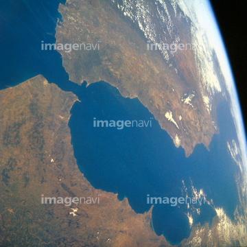
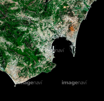
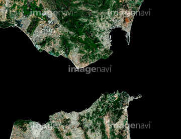
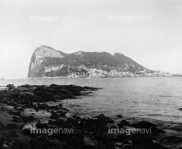
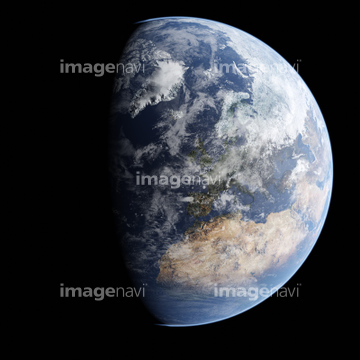
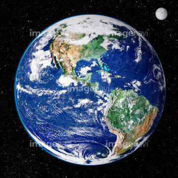
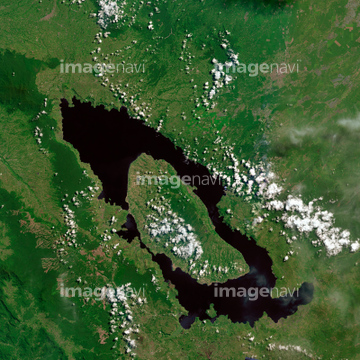
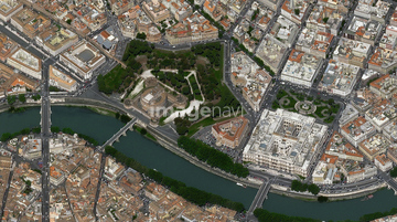
この検索結果には、Earth science research, artwork、Blue Marble image of Earth (2005)、Vatican City, Italy, satellite image、Westfjords peninsula, Iceland、Gibraltar, View to Rock of Gibraltar、Mediterranean Sea, satellite imageなどが含まれています。
64045719
64014162
64014208
51996441

64011211

64011230

64259491

64040014

64011214

64011215

64011231

64011200

64041342
64011100

64097527
64016866
64096039
64251605


64098804
64049179

64040008

64074360

64074793
64016888


64220039

64087812


64053694

64010398

17200234

64059362

64087874
19947127
64043659

64046357

64100584
64235338


64088728
64123560
64109677


64259647


64254515
64204734

64210710

64214598
64252846

64253111

64253112

64097610

64059340


64059343

64059349

64059352

64059353


64059355

64059356

64062175


64048954
64048955
64048956
64048957
64048958
64049175
64049177
64049181
64049183
64049185
64049197
64049203
64049220

64053256

64053257

64053258

64053259

64053260

64053315

64053368

64053369

64053371

64053372

64053385
64053386
64053473
64053474

64053561


64053684
64039902

64040007

64040009

64040010

64040011

64040012

64040013

64040015

64040016

64040177

64040178

64040204


64074792

64074794

64074795

64011098

64011203

64102918
64259481
64211648


64064274

64011094
17200247
64165592


64049178


64211646
64107664
64088684
64011210


64098806

64109227

64135588

30314026
64139336

64067335
64016885
64016907
64077548

17200249

17200250


17200253


17200255
64087305
| 次ページ |
