HOME > 写真 > 地図・衛星写真 > 衛星写真 > 環境問題
10,000件の写真素材が検索されました。
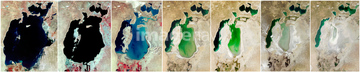
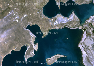
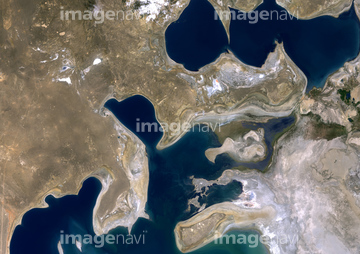
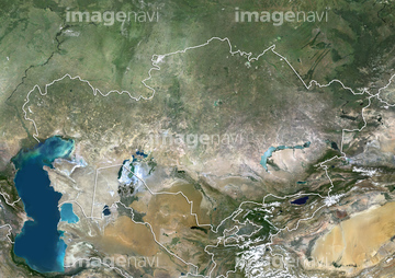
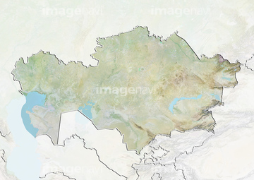
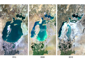
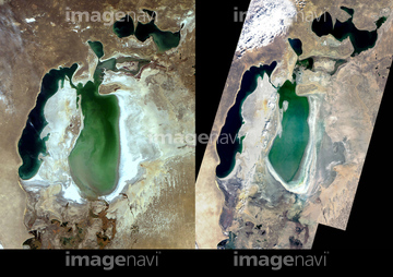
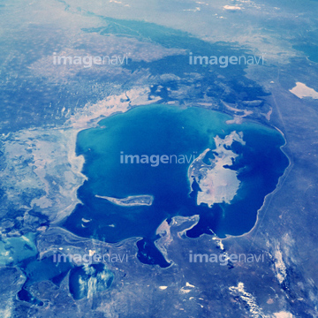
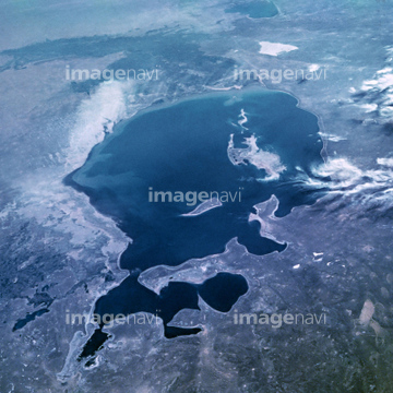
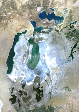
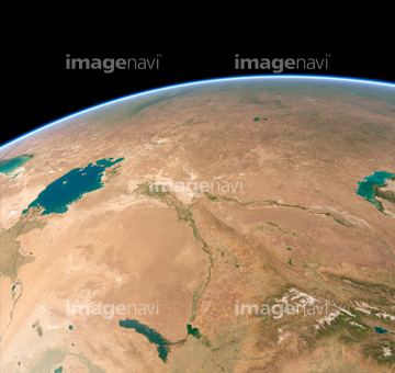
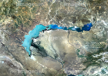
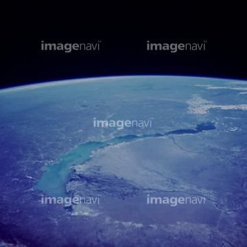
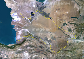
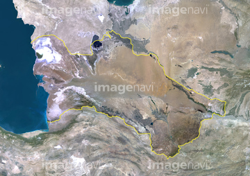
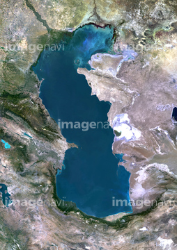
この検索結果には、アラル海、宇宙から見た地球(NASA提供)、カスピ海、Blue Marble image of Earth (2005)、Spanish heatwave, July 2004、River Plate estuary, Argentinaなどが含まれています。

64089327

64013248
64016274
51451152
63030313
63030401
64013246
64013247
64098672
63030865
99046095
99046176
64014958
64089702
64089704
64151691

64084875


64028582

63030395
64016251

64170236


64220039

64064274

64049194

64014700

64014773

64016158
64028579
64028580

64057050


64067336

64075588

64075590
51451531
51451559


64064290

64243149

64062425


64062428

64062429


64028583
64016672

64028581
64028684

64200497

64057051

64014771

64017093
64078929
64078930
64078995
64078996
64078997

64079777
64192648
64192838


64043385
64014963
64014964

64014968

64014970

64078685
40562992
40562993
40562994
64065670
99046174
64049723

53112340

64088669


64109560

64164839

64170235


64062426

64062430


64044574


64014930
30029239
64004510

63030003
63030076
63030867
63031110
63031366

32879158

64109508
64079239
64079240
64079241
64082537
64082570

64076181

51425077


64057054


64061242

64046145
64008121
64040993

64014973

64014976

64014977

64014985

64067282

64067334


64116186

64116187

64116188

64067333
64246529

30029261
63030005
63030218
| 次ページ |
