HOME > 写真 > 自然・風景 > 宇宙 > 地球
10,000件の写真素材が検索されました。
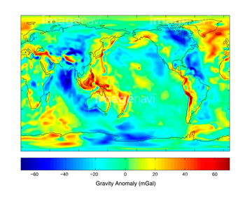
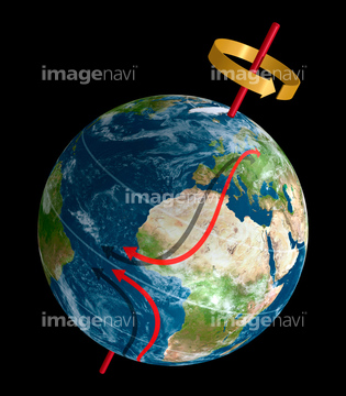
この検索結果には、Human presence over Earth at night、South America from space、Australia from space、Earth at night after sunset, illustration、Earth and Moon, artwork、Jet streams, artworkなどが含まれています。
64049174
64049175
64049182
64049183
64049184
64049185
64049196
64049197
64048952
64048953
64048954
64049176
64049177
64049178
64049179
64049180
64049181
64049198
64049202
64049203
64049204
64049220
64048955
64048956
64048957
64048958
64048959
64048960
64048961

64041345


64049125


64053694

64097527
64053386

64083582

64259491

64074360

64040177

64040178
64254515

64053385
64053473
64053474

64014702

64062174

64062175

64242042

64040182

64040183
64043655
64043656
64043657
64043658
64043659
64043660
64043661

64040012

64040015

64040203

64040204

64074420


64011214

64011231

64087817

64016866

64074422

64074424

64043083
64083581


64053256

64053260

64074418

64053684

64075683

64041342

64067805

64067295
64067281

64064274
64075889
64111791

64111792
64235338

64011490
64014701

64259482

64043123


64252846

64220039

64053257

64053258

64053259

64053368

64053369

64053371

64053372

64053561


64053686

64073666

64074421

64074902
64043287
64011702
64081457
64081459
64010398
64259005
64075464

64044426

64044427


64066111


64067275


17200234

64086443

64072491

64072492
17262378
64043662

64011200


64210710

64040980

64041895

64046357
64039902
64081460
64049160
64086442

64218473


64067297
64078166
64078167
64078185
64078186
64075792

64066108

64066109

64066110

64066113


64067274

64067276

64067277

64067279


64047887


64072484

64072485

64072486

64072487


64072490


64072494
| 次ページ |
