HOME > 写真 > 自然・風景 > 宇宙 > 地球
10,000件の写真素材が検索されました。
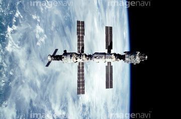
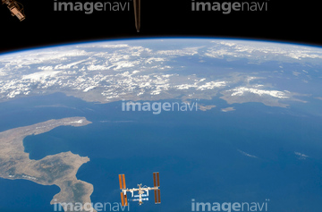
この検索結果には、SMOS satellite, artwork、Earth from space、Galileo IOT radio antenna、International Space Station, 2011、International Space Station, 2007、International Space Station, 2001などが含まれています。


64075588

64075590


64075196

64075197


64085877

64085878


64043083

64048958

64086428

64087817


64242042

64053686

64040012

64040015

64072484

64072485

64072486

64072487


64072490

64072491

64072492


64072494

64072495

64072496

64073666

64075591

64047887
64050837
64050843

64044426

64044427


64053561

64040182

64040183
64086670

64053684

64011214

64011231

64066734

64053325
64106254
64059386
64050531
64050815
64050818
64050820
64050839
64050840
64050842
64025108


64259482

64045800


64053256

64053257

64053258

64053259

64053260

64053368

64053369

64053371

64053372

64053385


64074360

64074418

64074420

64074421

64074422

64074424

64040980

64041895

64073664

64079777


64075684

64062373

64041230
64050532
64050536
64050563

64086442
64078166
64078167
64078185
64078186

64049160

64066108

64066109

64066110

64066111


64066113


64067274

64067275

64067276

64067277


64067279


64067295
64067297


64067805

64075683
64075792

64044741

64046391

64088728

64214597


64052336

64040011

64040016


64072059

64072060

64073662

64074792

64075191


64109527

64109558

64047888


64040166

64041383

64082370

64086443

64086444

64086667

64111791

64111792


64040177

64040178

64040203

64040204

64041345
64014701
64014747
64067281

64074902
64075464


64011215

64062174

64062175

64050564

64259490


64044035
64081342
64081358
64081361
64050576
64084395

64045775

64045782


64074359
64174508
64081457
64081459
64081460
| 次ページ |
