HOME > 写真 > 自然・風景 > 宇宙 > 地球
10,000件の写真素材が検索されました。
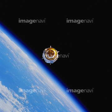
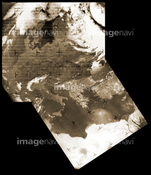
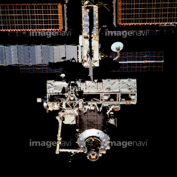
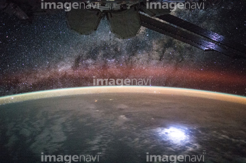
この検索結果には、Texas at night, ISS image、Typhoon Neoguri, 2014、International Space Station, 2011、Hurricane Gonzalo, ISS image、Milky Way seen from the ISS、Japan, satellite imageなどが含まれています。
64050576

64047887

64011214

64011231
64059205
64059207
64059209
64059211

64040012

64040015

64057572
64059199
64059200
64059201
64059204
64059206
64059208
64059210
64059212
64059213

64067342

64067344

64047888

64105661

64040011

64040016

64074792


64075684
64050064

64011215

64053686

64075837
64050204
64115716
64115717
64061999
64062000
64062002
64062003
64062005
64062047
64062048
64062049
64062051
64062352
64062372
64063273
64072861
64075316
64096990
64096992

64075072

64075073

64040007

64040010
64050818
64050820
64050839
30318480
64025789

64050837

64053561

64066734

64115723
64115727
64115731
64059386
64062052
64062353
64062356
64062357
64062365
64062370

64062373

64063131
64063135
64063246
64063257
64050531
64050815
64050842
64075315
64077181
64077187
64081342
64081358
64081361
64096984
64096989
64096995
64059202

64041230
51425634
99074114
99074115

64074902
64076172

64059203
64050840

64053256

64053257

64053258

64053259

64053260

64053368

64053369

64053371

64053372

64053385


64053684

64072484

64072485

64072487


64072490

64072491

64072492


64072495

64072496
64072860

64074360
64075592
64075672
64075673
64075674
64075675
64075676
64075793
64075794
64075834
64075884
64075886
64075887
64075888
64075889
64075890


64040013

64040014

64074794

64043083
64050843


64085877

64085878


64011203

64011211

64011230

64059353
64011198
64053691
64053692
64086442
64086670
64025778
64075838
64053373
64053374
64075795
64131470
64076173

64076181
64057616
64062046
64045800


64067343

64072486

64072494

64073666

64074418

64074420

64074421

64074422

64074424

64074871
64074885


64075588

64075590

64075591
64075593
| 次ページ |
