HOME > ژتگ^ > ڈو‚蕨پEŒً’ت > Œً’تƒCƒپپ[ƒW > ’nگ}
10,000Œڈ‚جژتگ^‘fچق‚ھŒںچُ‚³‚ê‚ـ‚µ‚½پB
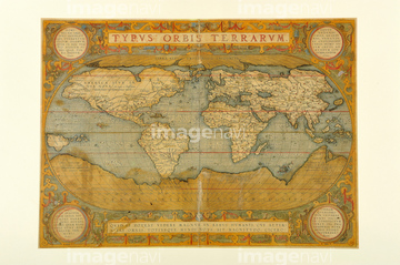
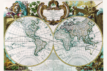
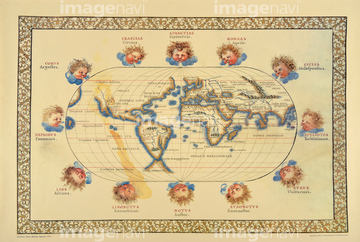
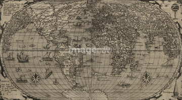
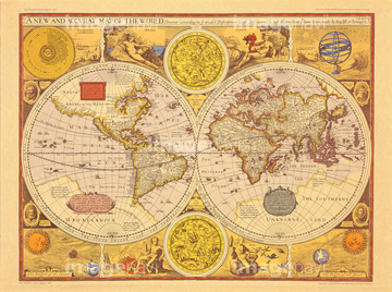
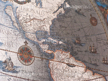
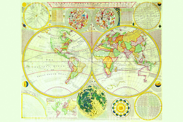
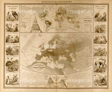
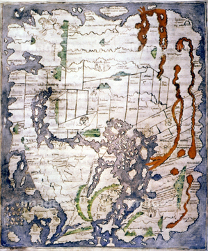
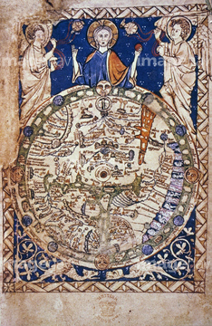
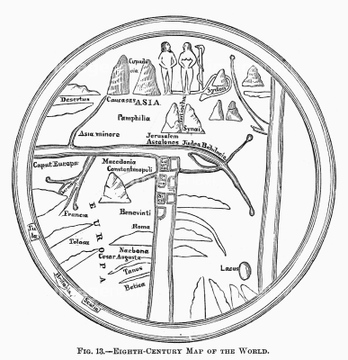
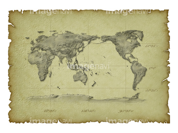
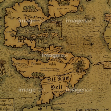
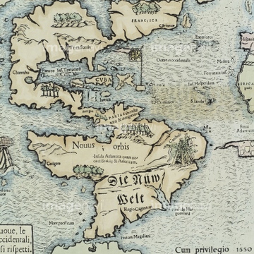
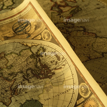
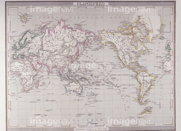
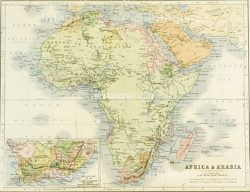
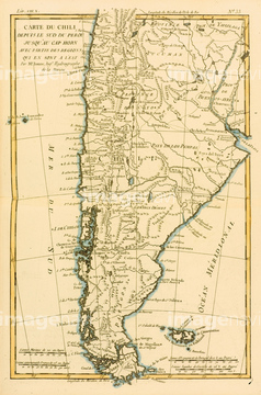
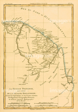
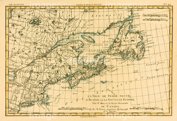
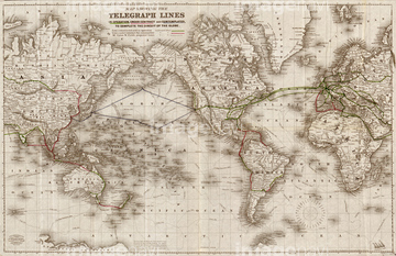
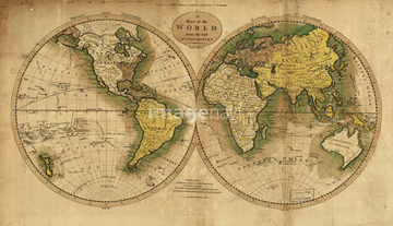
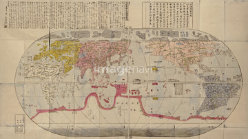
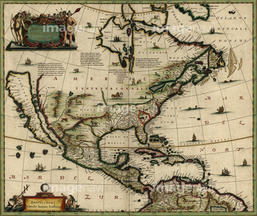
‚±‚جŒںچُŒ‹‰ت‚ة‚حپAŒأ’nگ}پAMap of Germany in 1815پAMap of Palestine as described in the New TestamentپAMap of Palestine as described in the Old TestamentپAWorld Map 1664پAPolar Projection Map of the World 1700‚ب‚ا‚ھٹـ‚ـ‚ê‚ؤ‚¢‚ـ‚·پB

64052691

64052698

64052702

64052655

64055073
64052700
64052701

51421923

64055079

64055082

51421922

64052692


51424033

51436381

51435745

64055074

64055075


64055076

64052693
51436392

51436268


51436271


70125589

51436390
64082662

70102712

51436261


51435748


51436380

51435744
51437217

64055078
70102711

51436241
70125587
12406251

51417134

51422942

51422943

51422944

51422887


51435746


51435807
51435749
51435521
51904111
51902260
51906159

40544551
14301074
14301075
14301076
14301077

10307301

10307315
10307316
10307317

10307320

10307323
10307330

10307331

10307332

10307334

10307335

10307344

10307345

10307348

10307349

10307351

10307356

10307357

10307360

10307361

10307362
30047317


51421877

51421879

51421880

51421883

51421884

51421885

51421888

51421889

51421890

51421891

51421894

51421895

51421896

51421897

51421898

51421899

51421900

51421901

51421902

51421904

51421905

51421906

51421916

51421921

51421882
51421892

51421907
51421908

51421919

51436064


51421917

51421920


51436864

64055081
51936583

17274337
64082664

51435545
51435529

51436264
51436382
51436387

19283045
51436022
19283091
19283231
19283234

10918136

64149791
40534579
40534580
41102765
41102766
41102767
41102858
41102859
41102862
41102863
41102864
41123621
41123622
41123623
41087353
41087391
41088180
41088181
41088182
41088185
41088188
41088189
41088190

41088197
41088210
41088221
41088222
41088223
41088240
41088241
41088242
41088243
41088252
41088253
41088254
41088261
41088270
| ژںƒyپ[ƒW |
