HOME > ژتگ^ > ڈو‚蕨پEŒً’ت > Œً’تƒCƒپپ[ƒW > ’nگ}
10,000Œڈ‚جژتگ^‘fچق‚ھŒںچُ‚³‚ê‚ـ‚µ‚½پB
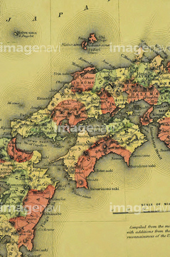
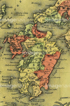
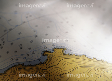
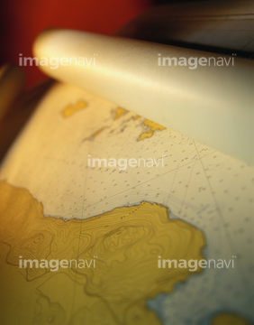
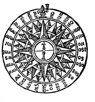
‚±‚جŒںچُŒ‹‰ت‚ة‚حپAŒأ’nگ}پAƒCƒ^ƒٹƒA’nگ}پAچqٹCƒCƒپپ[ƒWپASextantپASextant on a nautical chartپA‘´“ٌڈ\”ھ •ں‰ھŒ§‚ب‚ا‚ھٹـ‚ـ‚ê‚ؤ‚¢‚ـ‚·پB

64052695
64052701

10307315
10307316
10307317

10307323

64052655

64052692

64052700
10307321

10307322
10307324
10307325
10307326
10307327
10307328
10307338
10307346

10307352

64052693

64052698

64052702

64052691

64055081

10918776
70102711
70102712

70102713

70125589
30047318

30047320
30047322

30047323
64044072

64055078

51422942

51422943

51422944

16000627

16000628

64055073

64055074

64055075

64055079

64055082

64055083
70125587
70125588

10918777

10918784
30013996
11830107
30038103
51906154

10307308

10307333

10307343

10307353

10307354
51902843

10122909

10307301

10307320

10307330

10307331

10307332

10307334

10307335

10307344

10307345

10307348

10307349

10307351

10307356

10307357

10307360

10307361

10307362
30047325
30047326
30047317
30047331
30047334
30047335
30047338
14301142
14301143
51435903
51435905
51436350
51902869
51901470
51902212
51902213

51902283
51904921
51906148
51910380

51903789
51903882
51936583

41455228
41455229
40562929
51436022
51435521
70272644
70272645
70272646
70272647
51417164
51435768
11830110

51437221
11830001
11830002
11830003
11830004
11830005
11830006
11830007
11830008
11830009
11830010
11830011
11830014
11830015
11830017
11830018
11830019
11830022
11830023
11830024
11830025
11830026
11830027
11830029
11830030
11830031
11830032
11830033
11830037
11830039
11830040
11830041
11830043
11830044
11830045
11830048
11830049
11830054
11830057
11830077
11830078
11830079

11830080
11830081
11830082
11830084
11830085
11830086
11830087
11830088
11830089
11830094
11830095
11830098
11830099
11830102
11830105
11830106
70097066
70097067
70097068
70097071
70097072
70097073
70097074
70097075
70097076
70097077
70097078
70097079

70097080


30036723
30036729
30036733
51901345
51908323
51908330
| ژںƒyپ[ƒW |
