HOME > ژتگ^ > ڈو‚蕨پEŒً’ت > Œً’تƒCƒپپ[ƒW > ’nگ}
10,000Œڈ‚جژتگ^‘fچق‚ھŒںچُ‚³‚ê‚ـ‚µ‚½پB
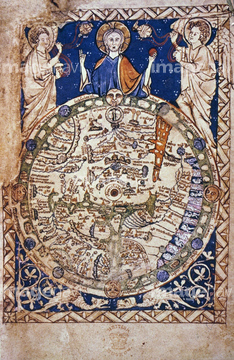
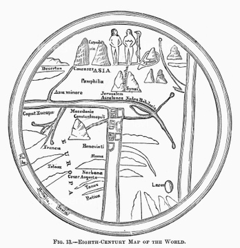
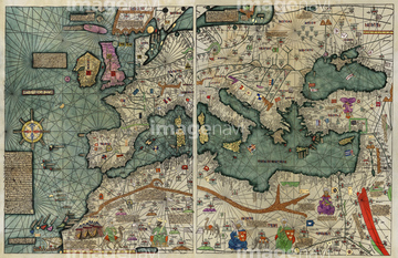
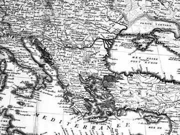
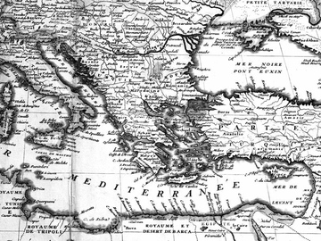
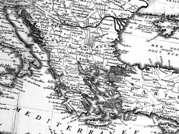
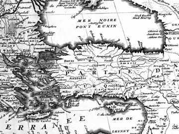
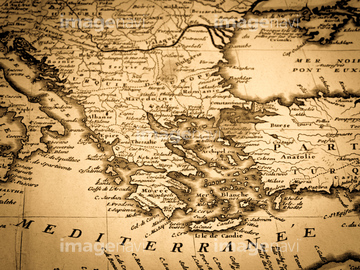
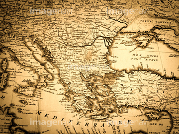
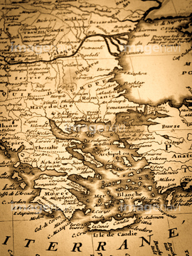
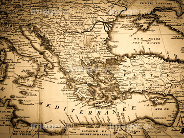
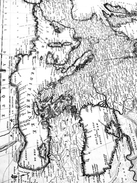
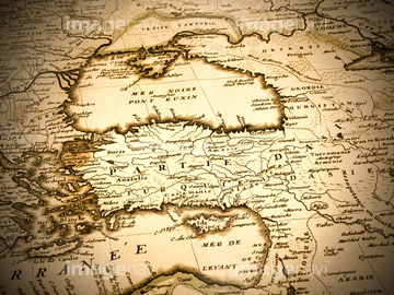
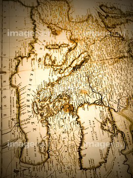
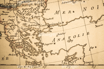
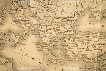
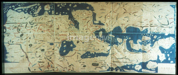
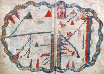
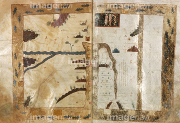
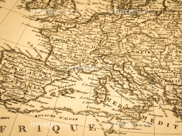
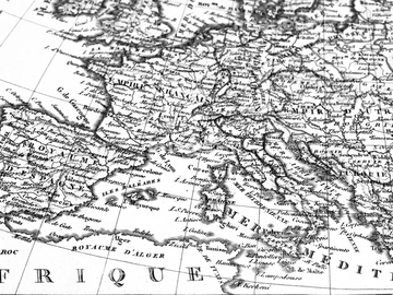
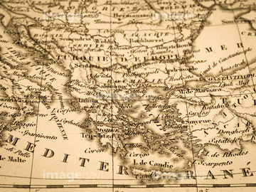
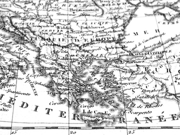
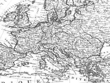
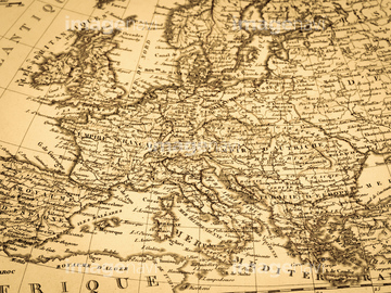
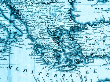
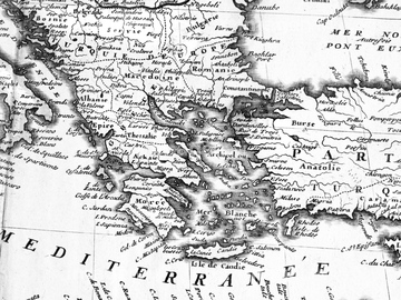
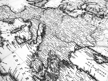
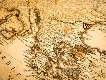
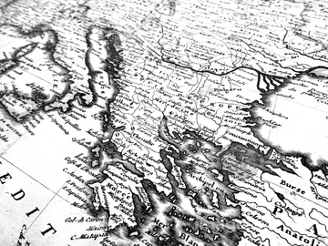
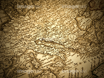
‚±‚جŒںچُŒ‹‰ت‚ة‚حپAŒأ’nگ}پAƒAƒ“ƒeƒBپ[ƒN‚جگ¢ٹE’nگ}پ@’n’†ٹC‰ˆٹفپAƒAƒ“ƒeƒBپ[ƒN‚جگ¢ٹE’nگ}پ@ƒMƒٹƒVƒƒپAƒAƒ“ƒeƒBپ[ƒN‚جگ¢ٹE’nگ}پ@ƒMƒٹƒVƒƒ‚ئƒCƒ^ƒٹƒAپAƒAƒ“ƒeƒBپ[ƒN‚جگ¢ٹE’nگ}پ@ƒgƒ‹ƒRپAƒAƒ“ƒeƒBپ[ƒN‚جگ¢ٹE’nگ}پ@’n’†ٹCژü•س‚ب‚ا‚ھٹـ‚ـ‚ê‚ؤ‚¢‚ـ‚·پB

64052691

64052698

64052695

64052702

64055073
64082662
51902249
64217860
51902260
51906159
64052701

64055076

64055079

64055082

10307308

51435748

51436381

51435745

51436390
51904111
64052700

51436380

51435744

10307333

10307343

10307353

10307354

64055074

64055075
10307303

10307310
10307336

64055078
51430885
51430888

51435746

51902153
51902154
51933465
30047317
41421707
41421463
41421558
41421559
41421560
41421561
41421562
41421563
41421594
41421595
41421596
41421597

41421598
41421599
41421600
41421705
41421706

41421708
41421794
41421795
41421796
41421848

41421849

41421850

41193856

41140512

41140513

41140514

41140515
41140516

41140517
41193847

41193848

41193849

41193855
51902246
64082664


41454880

41455228
41455229
41455233
41455234
41455267
41455268
41455269
41140530
41140531
41140532
41193843
41193861
41087287
40562929


51932222
51902300
51902854
51436241

51936583
51436392


10307304
10307306
10307311

12406251

10307301

10307315
10307316
10307317

10307320

10307323

10307330

10307331

10307332

10307334

10307335

10307344

10307345

10307348

10307349

10307351

10307356

10307357

10307360

10307361

10307362

70125589

64052655

64052692

64052693

53107570
41421792
41421793

41139985
41139986
41139987
41139988
41139989
41139990
41140018
41140019
41140038
41140039

41140040
41140041
41140042
41140346
41140347
41140348
41140349
41140350
41140351

41140386

41140387

41140388

41140389
41140390

41140391
41140458
41140459

41140460
41140461

41140462

41140463

41140485
41140486

41140487
41140488
41140489

41140490

41140491

41140492

41140493
41193714

41193715

41193716

41193717
41193718
41193719

41193720

41193731

41193732
41193733
41193734

41193735

41193736

41193764

41193765

41193766
| ژںƒyپ[ƒW |
