HOME > ژتگ^ > ڈو‚蕨پEŒً’ت > Œً’تƒCƒپپ[ƒW > ’nگ}
10,000Œڈ‚جژتگ^‘fچق‚ھŒںچُ‚³‚ê‚ـ‚µ‚½پB
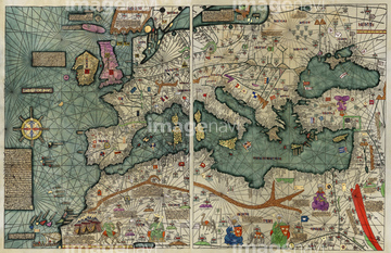
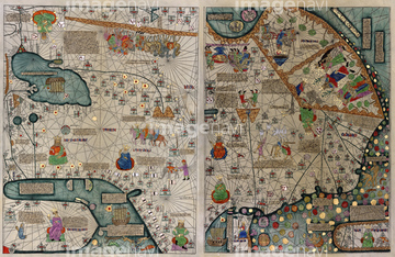
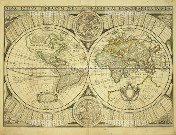
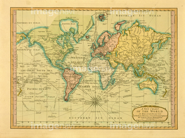
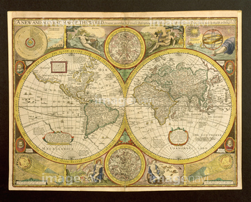
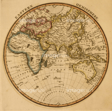
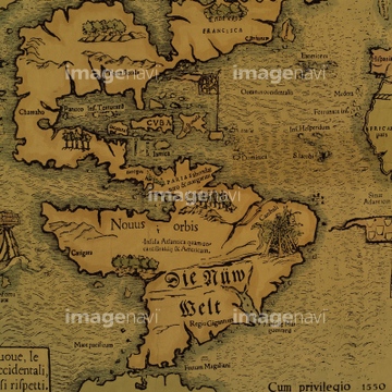
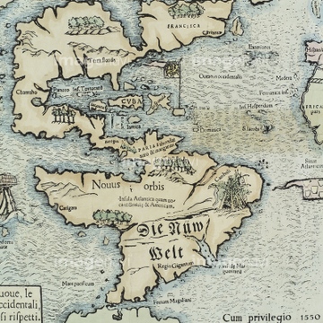
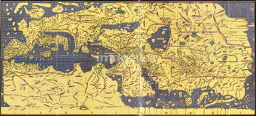
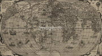
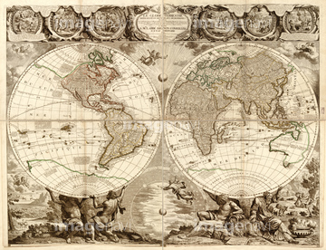
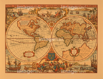
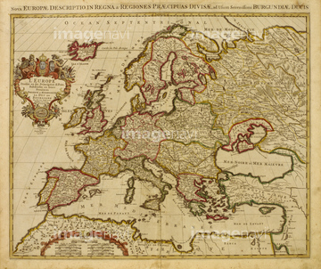
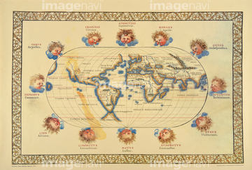
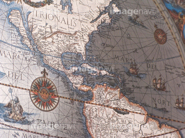
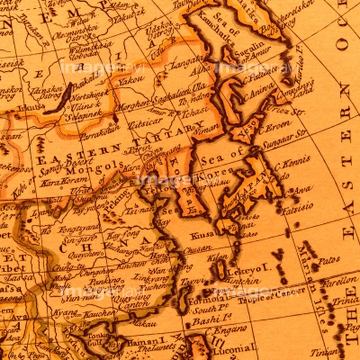
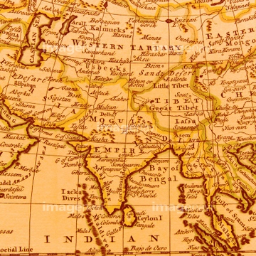
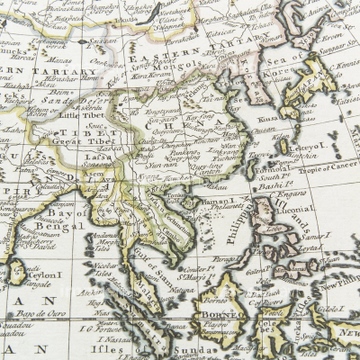
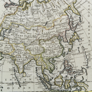
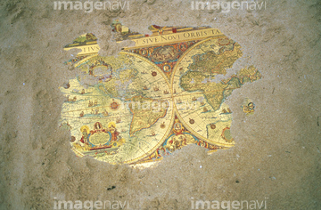
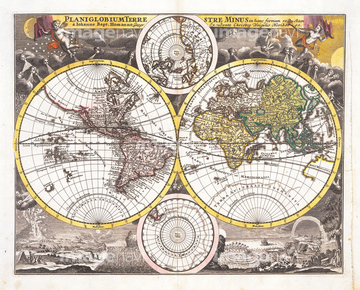
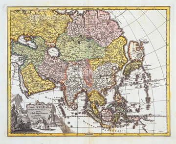
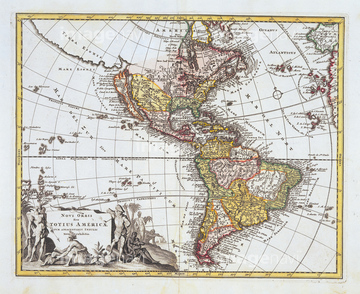
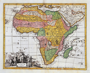
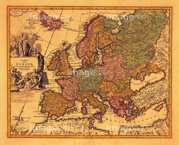
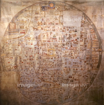
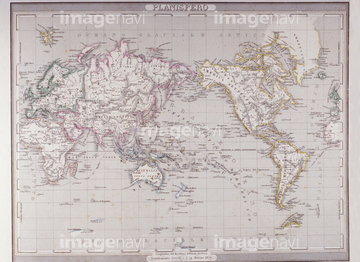
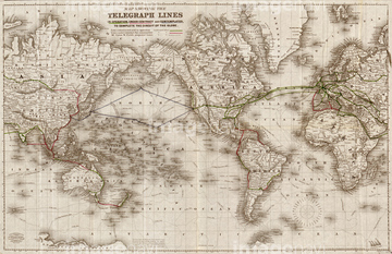
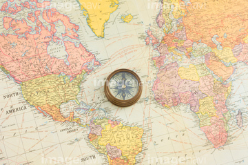
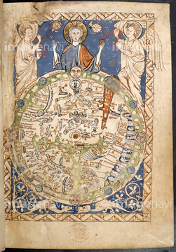
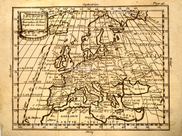
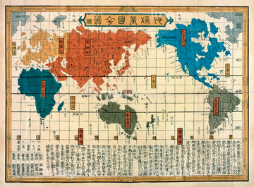
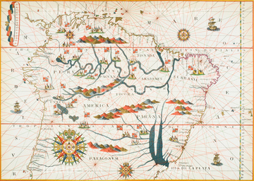
‚±‚جŒںچُŒ‹‰ت‚ة‚حپAگ¢ٹE’nگ}پAŒأ’nگ}پAŒأ’nگ}ƒCƒپپ[ƒWپAŒأ‚¢گ¢ٹE’nگ}پAMappe Monde Nouvelle 1744پAAnglo-Saxon world map, 11th Century‚ب‚ا‚ھٹـ‚ـ‚ê‚ؤ‚¢‚ـ‚·پB
64052701
64052700

64052698

64052691

64052702

64052655

64052692

64052693


64052695

64055073

64055074

64055075

64055079

64055082

64055076
19283091
19283231
19283234

51436261


51436268


51436271


51435749

10307301

10307315
10307316
10307317

10307320

10307323
10307330

10307331

10307332

10307334

10307335

10307344

10307345

10307348

10307349

10307351

10307356

10307357

10307360

10307361

10307362

70125589
51437217

10307333

10307343

10307353

10307354
70102712
64082662

51421922

51421923

51424033
51436241

51436381

51436390
51436392

51435745
51435807
19286464
19283230

70102711
12406251
10307302
10307303
10307305
10307307

10307308
10307309
10307310
10307312
10307313
10307314
10307318
10307319
10307321

10307322
10307324
10307325
10307326
10307327
10307328
10307329
10307336
10307337
10307338
10307339
10307340

10307341
10307342
10307346
10307347

10307350

10307352

10307355

10307358

10307359
10307390
10307391
10307392
10307393
10307394

10307395
10307396
10307397
10307398
10307399
10307400
70125587

40544551


51436380

51435744

64055081

64055078

19283045
19283280
19283281
19283282
19283283

70195234
70195238
30047317

51436864
21851935

51417134


51435746

51435748
64082664
41455227
41088270
40533721
40533722
14301074
14301075
14301076
14301077
10307304
10307306
10307311

51422887

51422942

51422943

51422944


51436058

51436064

51436264

51436265


51436273

51436278


51436280
51436281
51436294
51902260
51904111
51906159
40562921
40562922
40562924
40562972
19286465
19286466

51421591

19286467
19283232
19283233
70283498
70283507
70194581
51422878
| ژںƒyپ[ƒW |
