HOME > 写真 > 自然・風景 > 宇宙 > 地球
10,000件の写真素材が検索されました。
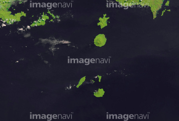
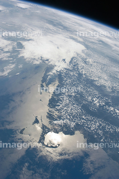
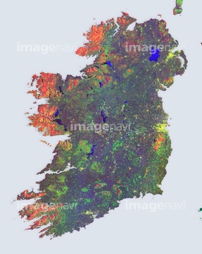
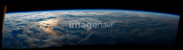
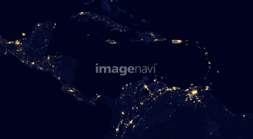
この検索結果には、Tornado track, satellite image、Human presence over South America、Human presence over Europe at night、Human presence over eurasia at night、Human presence over Asia at night、Human presence over Earth at nightなどが含まれています。


64073665
64045794

64073664

64011214

64011231


64053684

64073662

64074359
64073659

64074360

64011215


64053686

64073666


64074792


64059353


64059355

64087812
64096982

64040980

64041386

64041387

64041388

64074422

64074424

64011211

64011230

64011200


64011221

64011223

64011225

64011229


64053256

64053257

64053258

64053259

64053260

64053315

64053368

64053369

64053371

64053372

64053385

64053561

64074361

64074418

64074420

64074421

64098684


64059343

64059356


64109227

64046145

64044794

64044795

64044796

64098666


64087817


64041895

64086385

64086428


64086685

64109527

64109558
64109562


64072059

64072060

64075190

64075191


64075196

64075197


64243149

64047389

64040014

64049125
64096987

64074793

64011203


64098673


64098677

64098678

64098688

64098690


64059340


64059349

64059352
64062365
64063264

64088728

64043083

64214597

64242042


64040011

64040012

64040015

64040016

64208339


64062052


64109563

64073758

64086443

64062425

64011207
64053694
64141171
64131366
64059209

64109441

64109442

64109463

64109464
64075189
64087825


64096983

64260474

64046357

64074902

64062373

64052336

17200234

64045782

64072484

64072485

64072486

64072487


64072490

64072491

64072492


64072494

64072495

64072496
64109677

64053325
64089705
64078005

64041345


64115731
64131322

64058420

64058421
64067339
64075593


64141184

64098696

64098702


| 次ページ |
