HOME > ژتگ^ > ڈو‚蕨پEŒً’ت > Œً’تƒCƒپپ[ƒW > ’nگ}
10,000Œڈ‚جژتگ^‘fچق‚ھŒںچُ‚³‚ê‚ـ‚µ‚½پB
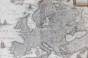
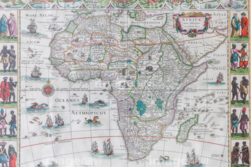
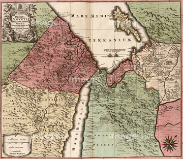
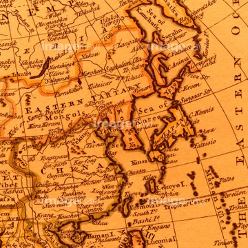
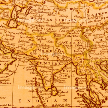
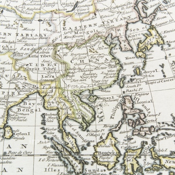
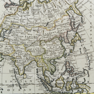
‚±‚جŒںچُŒ‹‰ت‚ة‚حپAƒCƒ“ƒh‚جŒأ’nگ}پAŒأ’nگ}پAŒأ’nگ}ƒCƒپپ[ƒWپA18th century Map of Japan by RelandoپA17th century Map of Asia by BlaeuwپAMediterranean Sea, 14th century‚ب‚ا‚ھٹـ‚ـ‚ê‚ؤ‚¢‚ـ‚·پB

64055078

64055077
51436141

64052655

51436143

51422780
51436144
51436139
51436142
51435521

64052692

64052691

64052693

64052698
64082664

51436137
51902260

64055081

51417096
51422779

64055074

64055073

64055075
51916520
51437236

64055076

64055079
51436313
64055080

51436129

51436130
51436022
51435538

51435545
51435529
51436244

51436128
64052700

51435514
51435515


10122909

10307301

10307331

10307344

10307345

10307349

10307351

10307357
70272647
70272646

64052695

51437213

64055082

10307308

64055083
51437249
51436076
51436291
51436284
51436387

51436011

51405937

51405944
51436213
51436215
51436218
51436219
51436221
51436222
51436250
51436252
51436310
51436314
51436316
51436321
51436323
51436324
51436136
51902854
51902300

64052702


64052701

51435752
51435876


51422778

51435838
51936583
51436402
30047322

51405939

51436216

70272644
70272645


40544551
51436365
64082739

10307320

10307332

10307334

10307335

10307348

10307362

70102713

10307361
51435904
51436132

51430902
51435536
51436224
51436248
51436251
51435567
51916519


51436381
51436382

51435745
10307302
10307303
10307305
10307307
10307309
10307310
10307312
10307313
10307314
10307319
10307324
10307325
10307326

10307333
10307336
10307339
10307340
10307342

10307343

10307358

10307359
70125588
51435999
51436003
51436005

51436007
51436008
51436032
51436036

51436060
51436062
51436075
51436077
51436114
51436115
51436152
51436170
51436247
51436289
51436397
51436400
51436403
51436405

41421851
40534572
40534573
40534578
40534579
| ژںƒyپ[ƒW |
