HOME > 写真 > 自然・風景 > 宇宙 > 地球
10,000件の写真素材が検索されました。
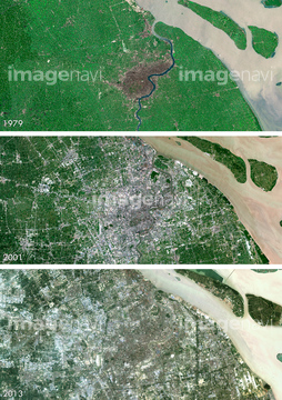
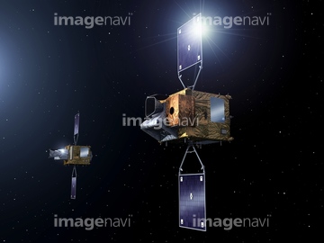
この検索結果には、SMOS satellite, artwork、Amazon rainforest, satellite image、Saudi Arabia agriculture, 2012、Changes in river ice conditions, illustration、Quito, Ecuador, satellite image、Panama City, Panama, satellite imageなどが含まれています。


64059357
64059361
64059339

64059356

64059362
64059345


64059343

64059349


64059355
64059360
64075188

64075190

64075189

64098673

64098680

64098681

64098684

64098688

64098690

64098693


64098702
64059363
64086495
64115822


64091493

64141184
64091427

64097610


64059347
64097599

64098695


64059352
64141170
64168478
64097616
64091420

64053325

64093933
64064291

64098692
64098700

64253111

64253112

64141171

64098666
64098667

64098696


64059340


64059350

64059353


64045942
64139347

64210700

64214598


64088671
64059358
64059359
64088828


64090810
64087831
64087844
64087873

64087874

64098804

64098806

64098807

64098808

64100584

64102918

64064294

64046391

64051876

64053686

64009992

64010000

64010005
64059714

64057573

64057613

64057614

64057615


64098677

64098678
64045936
64045939
64045945


64208339

64109527

64109558


64072059

64072060
64053318
64053703
64089705
64109562
64088674

64139333

64067342

64067343

64067344
64026650
64026655
64026656
64026665
64026667
64026669
64026670
64026671
64026672
64026673
64026674
64026675
64026676
64026683
64026684
64026686


64100567
64064292
64064293


64141178
64098663

64057571


64131456


64049194

64073664
| 次ページ |
