HOME > 写真 > 自然・風景 > 宇宙 > 地球
10,000件の写真素材が検索されました。
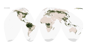
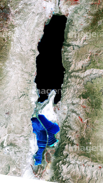
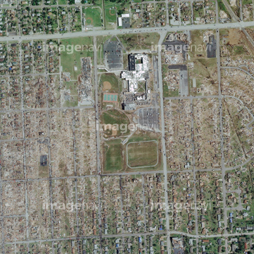
この検索結果には、Tornado damage, Joplin, USA、Sunlight distorted by Earth's atmosphere、Antarctic heat wave, composite image、Deforestation in the Amazon, 2005-2010、A new start for Earth, conceptual image、Dead Sea 1984-2011などが含まれています。

64059355


64059343

64059356

64059349


64059357

64059362

64075190


64059353


64098684
64075189
64075188

64098673

64059360

64098688

64098690
64059339
64059361


64098702

64097610


64053686

64073664

64073665


64072059

64072060

64057614

64098680

64098681

64059345

64098666

64059340

64059352


64109527

64109558

64102918


64049194

64059350

64210700


64057613


64098693

64010005


64040166

64040203

64040204

64040205

64040206

64086428


64075191


64074902
64115822


64141184

64098696


64059347

64093933


64098804
64045942


64098677

64098678

64253111

64253112


64057574

64057586

64057617


64045766


64057573

64087817

64088728

64043083

64214597

64242042


64053684

64040011

64040012

64040015

64040016

64040980

64041386

64041387

64041388

64041895


64073662

64073666

64074792

64011214

64011231
64087844

64051876

64010000


64041230

64053315
64086385


64086685
64109562
64045794


64075196

64075197


64109441

64109442

64109463

64109464

64052336
64059714
64059348

64087874

64098806

64098807

64098808

64046391


64109443

64109465


64210710


64214598


64091493
64098667
64059363


64074359

64009992

64086444

64086667

64044426

64044427


64105663
64105664

64057571

64057572

64057582

64059203

64067341

64067342

64067343

64067344
64075178
| 次ページ |
