HOME > 写真 > 国・地域 > アフリカ > タンザニア
10,000件の写真素材が検索されました。
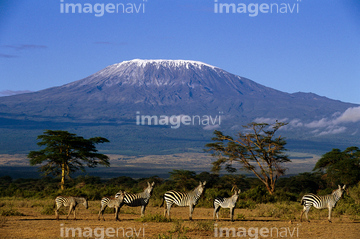
この検索結果には、アフリカゾウ、キリマンジャロ、キリンとキリマンジャロ、ランドサット九州、Athens and surroundings、Karachi, Pakistanなどが含まれています。
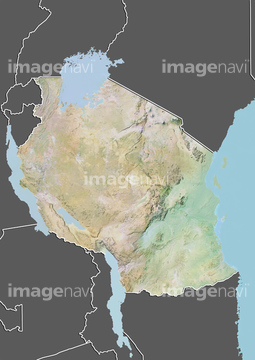
64015487
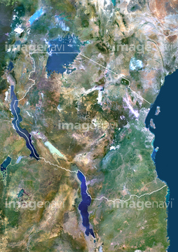
64065662

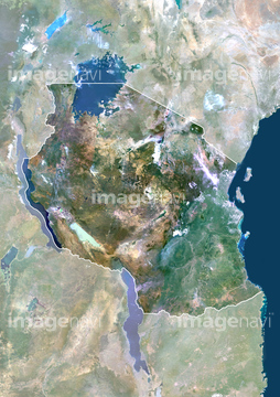
64065656

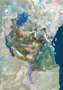
64065660

64016256

64057617


64016257
64154732

64053686
64015667

64014740
64065658
00006219
64072083
70012789
64244321

64014831

64060621

64074902
63030311

64057572
99098016
64097213
51994069
64248559
99098015
50085351
64072082
64026179
64026180
70571204

64098807

64163101

64014193


64014196

64014155


64016860

64016861

64016862

64016863

64016884


64220114
64005284
64016071
17200263


64015263
64016332


64097218

64057574

64057586
30326357
64215906
64215913
64037462

64129762

64210710

64016858
64016964
64016965

64105661
64067340

64067342

64067343

64067344

64075072

64075073

64075415
64026874
70571201
70571202
70571203
70054020
70054021
19288731

19332873

64067341


64045766


64098804

64098806

64098808

64059203

64014194
64014211
64014212


64014147
64014156
64014161
64014164
64014192

64016878
64017024


64210700
70012791
70054022
64237209
64237210
64237211
64237212
64097251
64065655
64159622

64051876


64098673

64098684
64243651
70289867

70571190
70571192
70571193
70571194
70571195
70571196
70571197
70571198
70571199
70571200
64146827
64146829
50085347
50085348
70012770
70012790

64149307

64057573

64057615
64014151
64113733
64113734
64113760

70012787
70012879
70012880
64014152
64014157
64244158
64244159
18137931
18137932
64045946
19332823
| 次ページ |
