HOME > 写真 > 自然・風景 > 宇宙 > 地球
10,000件の写真素材が検索されました。
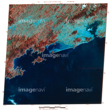
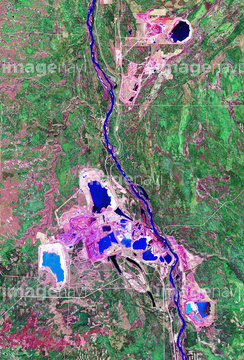
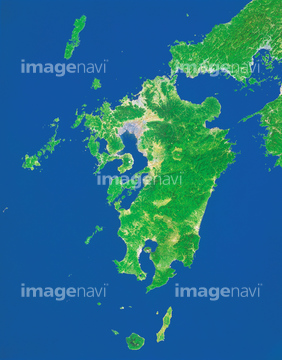
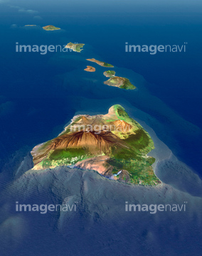
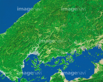
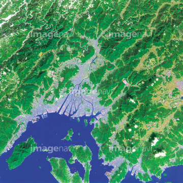
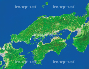
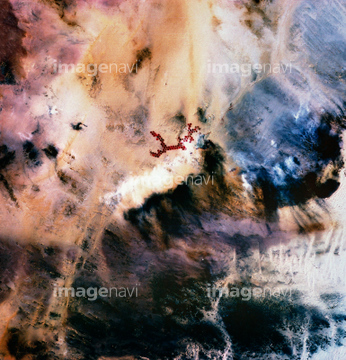
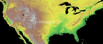
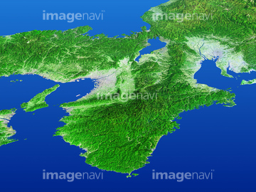
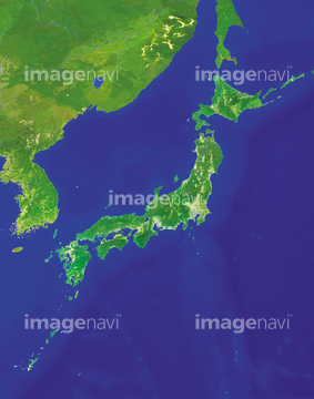
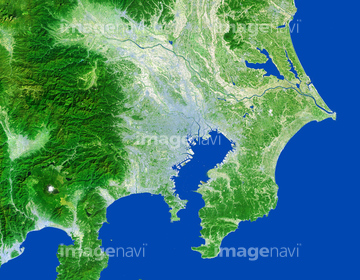
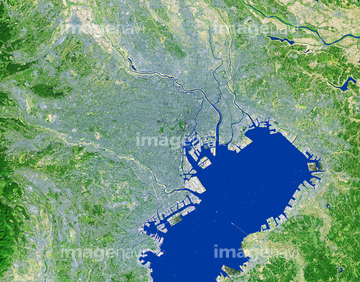
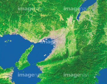
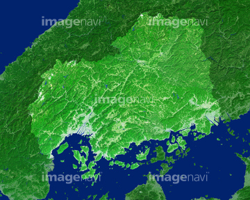
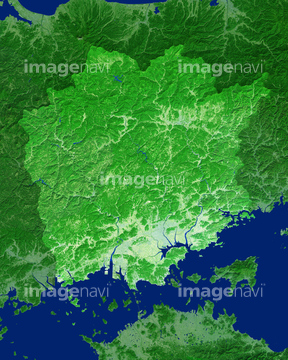
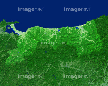
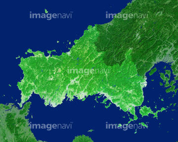
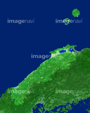
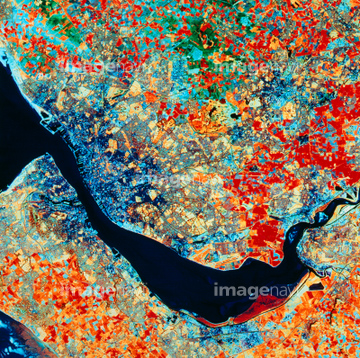
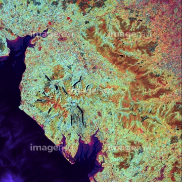
この検索結果には、ランドサット九州、ランドサット広島県、ランドサット広島市、ランドサット中四国、London, true-colour satellite image、London, infrared satellite imageなどが含まれています。


64065656

64016257

64016256

64060621

64014831


64053686

64014740

64074902
64016858
64026179

64163101

64220114

64016860

64016861

64016862

64016863

64016884
64026180
70571204
64065660
64065662

64014155

64014193
64154732


64014196

64057572
64016965

64075072

64075073
70571201
70571202
70571203
64243651

64014770
64016964

64057574
64065658

64105661
64067340

64067342

64067344


64146827
64146829

64045766
70289867
70571192
70571193
70571194
70571195
70571196
70571197
70571198
70571199
70571200
64008713

64014975
64016332


64098804

64098808
64014161
64017024
64045944
64146823
64146824
64146825

64210710


70571190


64041386

64041387

64041388
64014923
17200263


64015263
64023450

64057586

64210700
64045945
64146828
64012909
64026874


64041392

64014156
64014164

64016878
64015487
64023166
64065655

64015060

64057615
64012743
64255122

64057617

64057582


99074193
64139336

64009992
70571191
64077859
64188100
64210074
64172232

64129762

64098806

64098807


64014147
64014192

64014194
64014211
64014212
64016071

64244321

64067343

64075415
64098803
64097127
64100602

64041391

64051876
64023337
64023451
64023466

64098673

64098684

64045942
64086683
64179672
64049154
64049155
64075180
64075181
64023045
64024793
64024951

64057573


64085760
64022851
64022852
64139338

64253111

64253112
64056807
| 次ページ |
