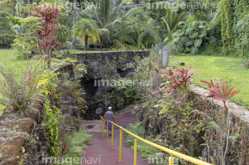
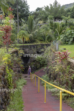
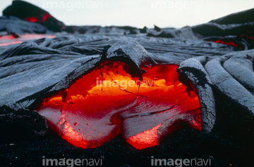
HOME > 写真 > 国・地域 > オセアニア > ハワイ
10,000件の写真素材が検索されました。
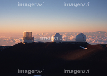
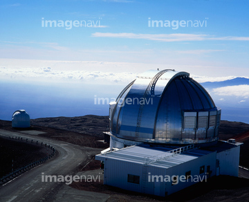
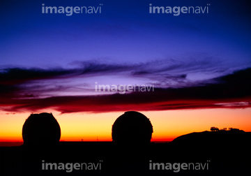
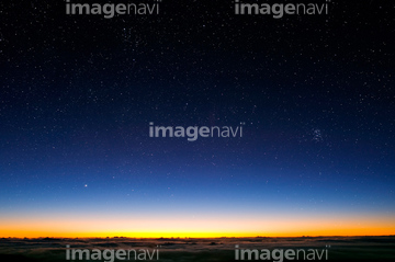
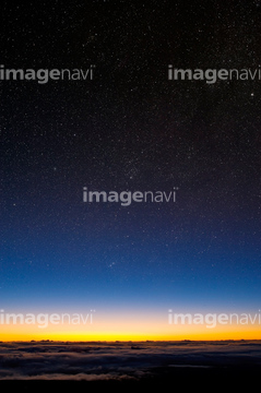
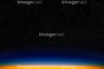
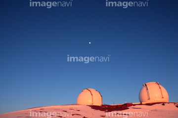
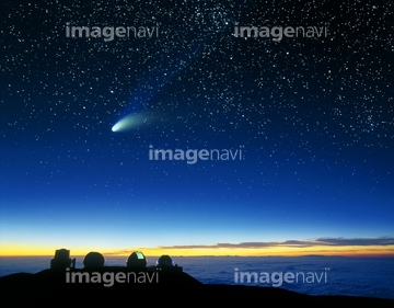
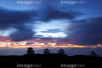
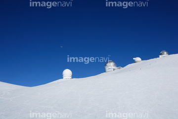
この検索結果には、ハワイ島マウナケア天文台群、マウナケア山頂を登る人々、マウナケア天文台、夕暮れマウナケア山頂のパラボラアンテナ、マウナケア山頂の夕焼けに染まる天文台、積雪のマウナケア山頂と天文台と月などが含まれています。
64065660

64065656
64154732
64065662
64163303

64015487
63030071


64016257

64074806
64065658

64014831

64051876
64015519


64053686

64016256
10155730
00017494
30392652

64014740
64074809
64074810
64074811
64172768
64172769
64034506

64015263
64259249
64244321
10155766
10155789
10155824
64067340

64060621

64074902
64016071


64016860

64016861
17200263

31606624
31606625
31606626
64026179
10155731
10155825
30325007
64259836
64163539
64065256
64015545
64014739

64075072

64075073


64220114

64014155

64014193


64014196

64016862

64016863

64016884
64015501
64015510
64015511
64015521
64015522

64016878
64014770

64163101

64014923
64015454
64015455
64015464
64015474
64015475

64098804

64098808
64015528
10155756
64077852
64026180
70571204
10155765
10155808
64015502
64015542
64015543
64015544
64015546
64015549
64259247

64016332
64172770
64172771
64016858
64016964
64016965
64015482
10155745
10155746


64210710


64014147

64014194
64017024
64074796
64074805
64012789
64015443
64015470
64015478
64158592
64158593
64158594
70208720

70571190
70571192
70571195
64015512
64015516
64015517
64015518
64015520
64015523
64015524
64015525
64015526
64015500
64015529
64076605
64076606
64076607
64076608


64015553
64113833

64057617

64067341

| 次ページ |
