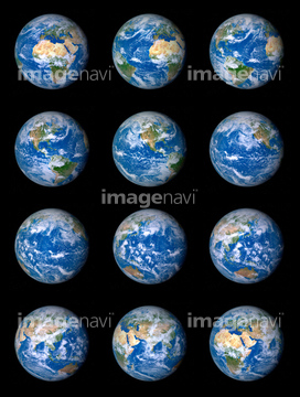
HOME > 写真 > 自然・風景 > 宇宙 > 地球
10,000件の写真素材が検索されました。
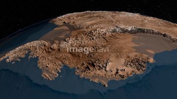
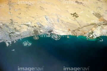
この検索結果には、Kings Canyon, Australia, satellite image、Grand Canyon, USA, satellite image、Wollemi Park canyons, Australia、Yarlung Tsangpo Canyon, Tibet、Tornado destruction, Arkansas, USA、Earth, infrared satellite imageなどが含まれています。
64067284
64067288
64067281
64096326

64067282
64067283


64040014

64011215
64048956
64048957
64096325


64067291

64097527

64086443


64040980

64041345
64075179


64067275

64075591

64210700


64044790

64087817


64064274


64053684

64041895

64067295

64072484

64072485

64072486

64072487


64072490

64072491

64072492


64072494

64072495

64072496

64073662

64075683

64083582
64109677

64041387


64040018
64259491

64047389

64074360

64011207

64086428
64086442

64086444

64086667

64088728

64089706
64111791

64111792

64078166
64078167
64078185
64078186

64079777


64085877

64085878


64043083
64204748

64214597

64242042


64062174

64062175


64044426

64044427

64047887

64049160


64052336

64053686

64040011

64040012

64040015

64040016

64040166

64040177

64040178

64040182

64040183

64040203

64040204

64040205

64040206

64014701

64014702
64014747

64066108

64066109

64066110

64066111


64066113


64067274

64067276

64067277


64067279

64067297


64067805

64072059

64072060

64073664

64073666

64074792

64074902

64075191

64075464

64075588

64075590
64075792

64011214

64011231
64252934

64045782

64074359

64041342


64047110
64083581

64087812
64073659

64041386

64041388
64097551
64077527


64096983


64210710
64235338

64046357

64049125
64049174
64049175
64049182
64049183
64049184
64049185
64049196
64049197
64016866

64074422

64074424
64075178
| 次ページ |
