HOME > 写真 > 自然・風景 > 宇宙 > 地球
10,000件の写真素材が検索されました。
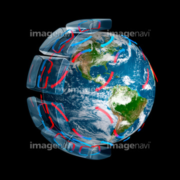
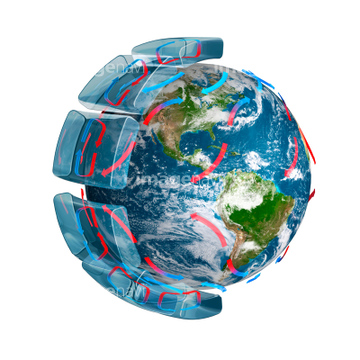
この検索結果には、Atmospheric humidity, computer simulation、Atmospheric pollutants, 5 May 2003、Atmospheric pollutants, 31 May 2003、Antarctica, July 2005、Green river canyon, Utah, ISS image、Global tectonics, African Plateなどが含まれています。

64072491

64072484

64072487


64072494

64072490

64072496

64072485

64072492

64072486

64072495

64053684

64087817

64053686


64040012

64040015

64011214

64011231


64074420

64074422

64041895


64075684

64086428

64073666


64085877

64085878

64066734

64047887
64045775


64074360

64214597


64045782

64040011

64040016

64075191


64043083

64242042


64075588

64075590

64075591

64096983

64066108

64066109

64066110

64066111


64066113


64067274

64067275

64067276

64067277


64067279

64076172

64259482

64074418

64074421


64040980

64073662


64073664


64075196

64075197

64053256

64053257

64053258

64053259

64053260

64053368

64053369

64053371

64053372

64053385

64053561

64086670

64088728

64074792

64062373

64041230

64106254

64086444

64040182

64040183

64040007

64040010

64040013

64040014

64011215

64086667

64067292


64074794

64046357

64053315
64096995
64077531
64077541
64063257


64075592
64075834

64045766

64041386

64041387

64041388

64086685


64074359
64045800

64074424
64260474
64062365


64079777


64052336


64072059

64072060
64084395


64011221

64011223

64011225

64047110

64074902

64075683

64067293

64040009

64074793

64067330

64259490


64073665

64047389

64074871

64089706
64078185
64078186

64062175


64040177

64040178

64040204
64014747

64067295
64067297


64067805


64210710
64061999

64067343

64067344
64075835
64075836

64075837

64075839

64075841
64075844
64062357
64083781

64067342
| 次ページ |
