HOME > 写真 > 自然・風景 > 宇宙 > 地球
10,000件の写真素材が検索されました。
この検索結果には、Global tectonics, Pacific Plate、Global tectonics, South American Plate、Manicouagan Crater, Canada、Himalayas seen from space、Teide volcano,Canary Islands, ISS image、Tabun Khara Obo crater, Mongoliaなどが含まれています。

64072495

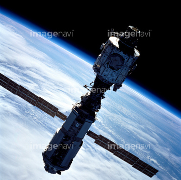
64072486


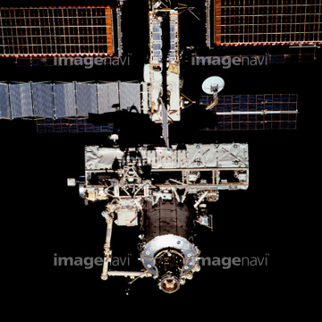
64072484

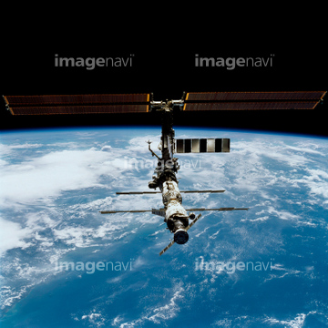
64072485

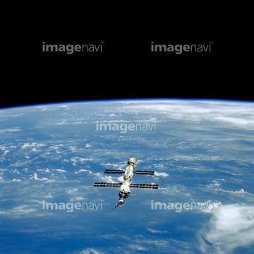
64072487


64072490

64072491

64072492

64072496

64072494

64053684

64087817

64053686


64040012

64040015

64074420

64074422

64041895

64047887

64011214

64011231

64086428


64085877

64085878


64043083

64242042


64073666

64075588

64075590

64075591

64066108

64066109

64066110

64066111


64066113


64067274

64067275

64067276

64067277


64067279

64045775

64214597


64045782

64088728

64053256

64053257

64053258

64053259

64053260

64053368

64053369

64053371

64053372

64053385

64053561


64074360
64086670


64075684


64066734


64086444


64040182

64040183
64014747
64106254


64073662

64259482

64045800


64074418

64074421

64074424


64040011

64040016

64074792

64075191


64040980

64073664

64062373

64041230

64067292

64096983

64046357
64096995
64077531
64077541
64063257

64086667
64078185
64078186


64040177

64040178

64040204

64067295
64067297


64067805

64041386

64041387

64041388
64059209
64076172


64050818
64050820
64050837
64050839
64050840
64053474

64079777


64052336


64072059

64072060
64084395
64109745
64109761


64075196

64075197


64047110
64174508

64067293

64067330

64082370

64040007

64040010

64040013

64040014

64074794

64011215

64089706


64062175

64086442

64086443
64111791

64111792
64078166
64078167


64044426

64044427
64049160

64040203

64041345
64014701
64067281

64074902
64075464

64075683
64075792
64062357

64053315

64259490


64210710

64059203
64059205
64059207
| 次ページ |
