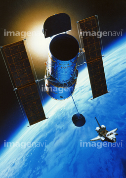
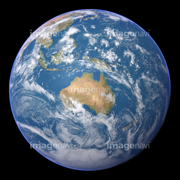
HOME > 写真 > 自然・風景 > 宇宙 > 地球
10,000件の写真素材が検索されました。
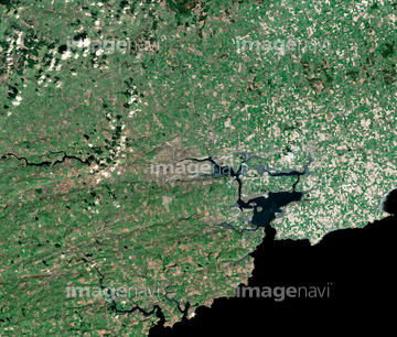
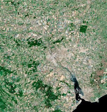
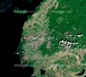
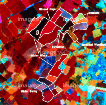
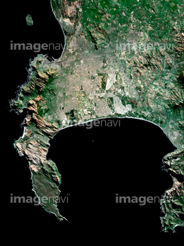
この検索結果には、ランドサット日本列島、Anak Krakatau volcanic eruption, satellite image、Athabasca tar sands、Isle of Man, satellite image、Matang Mangrove Forest, satellite image、Ankara, Turkey, satellite imageなどが含まれています。

64075073

64075072

64105661

64067344

64074902

64067342

64053686

64057572

64067343

64075415

64016965

64014831

70571190

64210710


64059203

64105663


64016884

64011103
64215906
64215913

64014155

64014193
64016964

64016257

64075837

64210700

64057571

64057574

64057614
64075416

64011214

64011231

64067341

64057586
70571192
64026179

64040012

64040015

64014196

64057582

64057617
64011101
64011181

64139331
64075178

64026180
64067340


64014147

64040011

64040016

64102918
64105664

64045766


64149307

64139333

64098804
64086680

64011215

64011200

64064292
64064293


64220114
70571204

64016858

64016860

64016861

64065656

64015060

64016256
99074193

64074792


64014194

64040007

64040010

64011207


64098673

64098684

64098688

64098690

64009992
64009996
64009999

64010000
64010004

64010005
64010006
64010100

64011094

64011098
64011100
64011401

64253111

64253112


64011203

64011211


64139332
64010007
64151692
64151695

64098702

64098806
64263649
64011097

64051876


64098808

64098807


17200250
64050576

64059209

64041386

64041387

64041388

64243149
64059204
64059205
64059206
64059212

64060621

64016862

64016863

64040017

64064274
64086683

70289867


64190383
70571195

64220039
64014199


64016878

64014156
64014161
64014192
64014212
64017024
64098803

64040009

64040013

64040014

64041383

64041390

64074793

64011221

64011223

64011225

64074794

64074795
| 次ページ |
