HOME > 写真 > 自然・風景 > 宇宙 > 地球
10,000件の写真素材が検索されました。
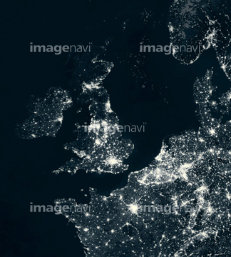
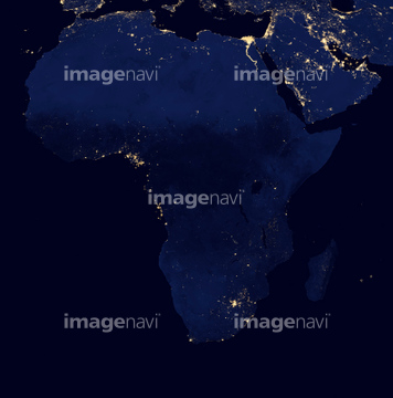
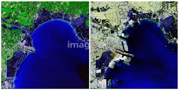
この検索結果には、Earth and Moon from Saturn, Cassini image、Ground level UV exposure、Global magnetic field, satellite map、Global air pollution mortality levels、Shanghai, China, satellite image、Africa at night, satellite imageなどが含まれています。
64077541
64077527
64077531
64077539
64059201
64077535


64075684
64077533
64083781
64083795
64075592
64077540
64077544


64242042

64076173

64086428

64087817

64096984
64096989
64096990
64096991
64096992
64096995
64115716
64115717
64115723
64115727
64115731

64131470
64077181
64077187
64081342
64081358
64081361


64084877

64085877

64085878


64259482
64076172

64076181

64043083

64057572
64057616
64059199
64059200

64059203
64059204
64059205
64059206
64059207
64059208
64059209
64059210
64059211
64059212
64059213
64059386
64061999
64062000
64062002
64062003
64062005
64062046
64062047
64062048
64062049
64062051
64062052
64062352
64062353
64062356
64062357
64062365
64062370
64062372

64062373

64063131
64063135
64063246
64063257
64063273
64045800


64047887
64050531
64050576
64050815
64050818
64050820
64050837
64050839
64050840
64050842
64050843


64053256

64053257

64053258

64053259

64053260

64053368

64053369

64053371

64053372

64053385

64053561


64053684

64053686

64040012

64040015

64041230

64066734

64067342

64067343

64067344

64072484

64072485

64072486

64072487


64072490

64072491

64072492


64072494

64072495

64072496
64072860
64072861

64073666

64074360

64074418

64074420

64074421

64074422

64074424

64074871
64074885
64075315
64075316


64075588

64075590

64075591
64075593
64075594
64075595
64075596
64075597
64075672
64075673
64075674
64075675
64075676
64075793
64075794
64075829
64075832
64075834
64075835
64075836

64075837

64075839

64075841
64075844

64075884
64075885
64075886
64075887
64075888
64075889
64075890
| 次ページ |
