HOME > 写真 > イラスト・CG > 自然・風景 > 自然
10,000件の写真素材が検索されました。
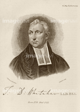
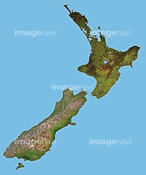
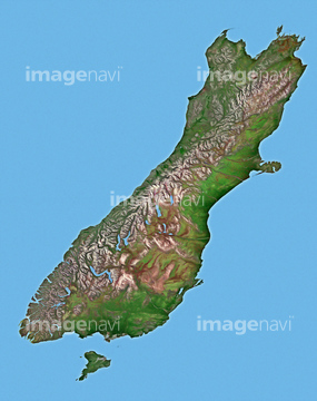
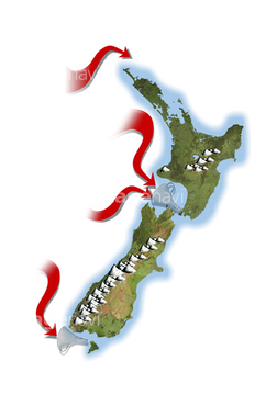
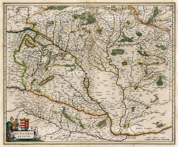
この検索結果には、Thomas Whitaker, British antiquarian、New Zealand, illustration、New Zealand's South Island, illustration、New Zealand's North Island, illustration、European glaciation, artwork、Europe, artworkなどが含まれています。
64082182
64081996
64081997
64053075
64081998
64081999
64082002
64053073
64081995
64082050
64082077
64078636
64248339
64078670
64093104
30038097
20536909
20536910
20536911
20536912

64172930
64097786
64086349
64078613
64078619
64078760
64049136
64078752
20530266
64148850
19006965
19006966
64078610
64078612
64078624
19011415
64082430
64257938
64041339
64041340
64041341
64239078
30038085
64055509
64167742
17285096
19019066
64049137
64093447

64078637
64078662
64239630
30038093
29041647
19006967
64193473
50069343
20541221
64257934
64233301
64078638
17295144
17295145
64093055
64144542
64064956
20546002
64118534
64101980
64101982
64101987
64101990
64101995
64086320
64086322
64078853
64053112
64201873
64053074

19024672
64094131
64015498
64015649

64015650
64078852
64093093
64084113
64240052
20530263
64257941
64087008
17202038
17286930
17286931
17286932
17286933
17286934
17286935
17286936
17286937
17286938
17286939
17286940
64077922
64113549
64113550
64049260
64178409
64258126
64257489
64201841
64201842
64201843
64097296
64078162
64172923
64101984
64045245
64217859

20561955
20561956
20561965

64116143
| 次ページ |
