HOME > 写真 > 地図・衛星写真 > 衛星写真 > 災害・気象現象
10,000件の写真素材が検索されました。
この検索結果には、パラグライダー、竜巻、Electric fan、上昇気流を表す雲形、Burning candle, Schlieren photograph、Hair dryer, Schlieren photographなどが含まれています。
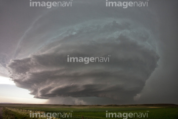
64082536
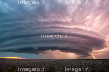
64082537
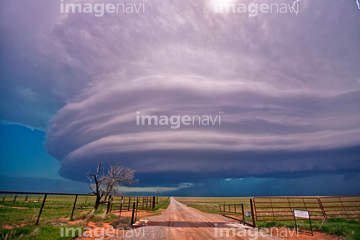
64139221
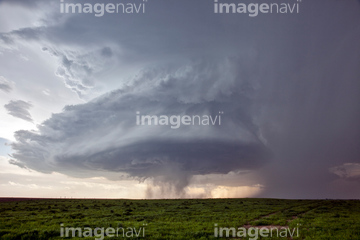
64015106
64078549
64078551
64078550
64078552
64078558

64072152

64072156
64072157
64072158
64074832
64074833

19281079
64072318
64090803

64096986
64071219
64085627
64097539
64011516
41178129
41178131
41178132
41178133
64016913
64016914
17229651

20548864

20523594

20523595
64141446

64106332

64242635
64227577
32435450
32435451
64009233
64009234

64010196
64014898
64072833
64072834
64027975
64028633
64097570
64104053
64104054
64092575

64087812

64124198
64124199

64124200
51451078

64097585
64096985

19943757
19943759
19943760
32671657
32671658
32671659
32671660
32671735
64140715
64012855
64096325
64096326
64141171


23840213
64011096
21851948

64040014

64040018

64011215
64127389
64037565
64097581
64097582
64097589
64153578
64037912
64037913
64109474
30388847

64058420

64058421

64087874
41099965
41099966
41099967

64109227
64131366

64135588

64046145

64044794

64044795

64044796
64170956

64243450


64073495

| 次ページ |
