HOME > ژتگ^ > ڈو‚蕨پEŒً’ت > Œً’تƒCƒپپ[ƒW > ’nگ}
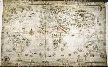
10,000Œڈ‚جژتگ^‘fچق‚ھŒںچُ‚³‚ê‚ـ‚µ‚½پB
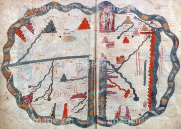
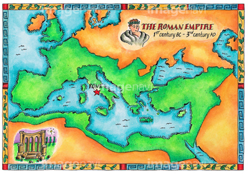
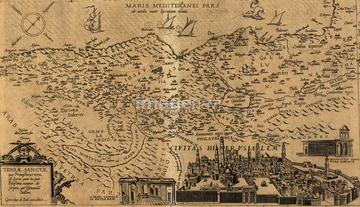
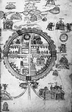
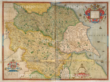
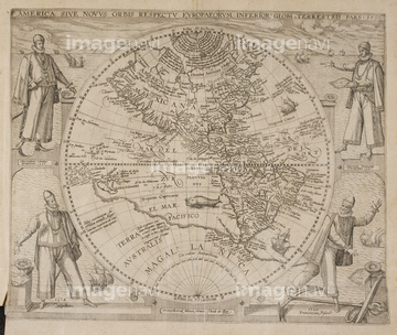
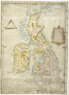
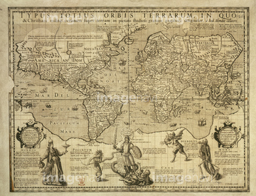
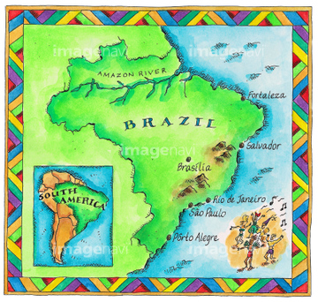
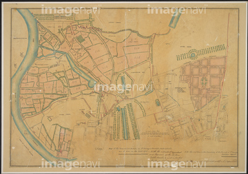
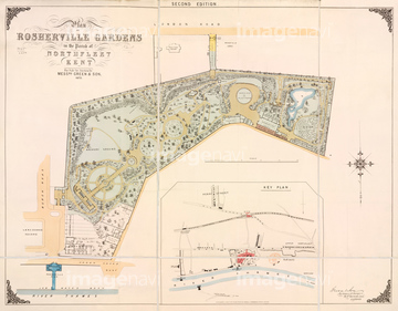
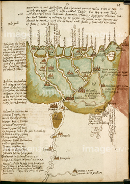
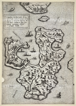
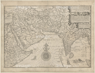
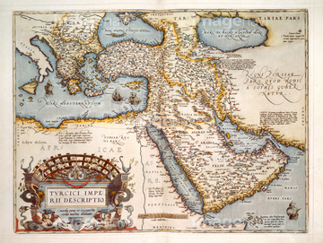
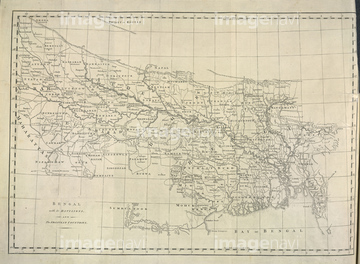
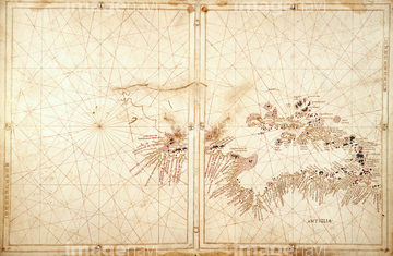
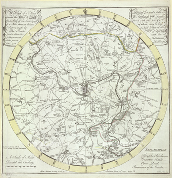
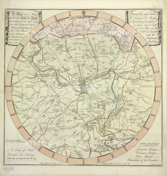
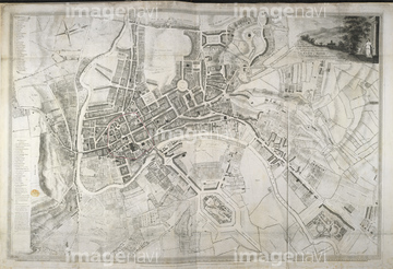
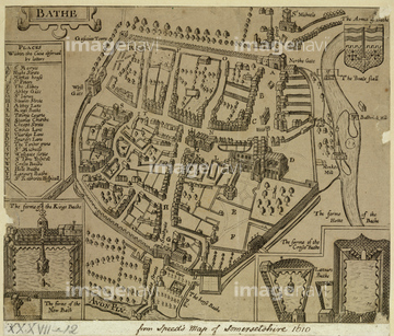
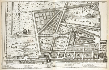
‚±‚جŒںچُŒ‹‰ت‚ة‚حپAMap of CeutaپAMap of HertforshireپATheatre of the Empire of Great BritainپAA colour map of ConstantinopleپAHoly Land & the Twelve TribesپAThe countries of Indostan east of Delhi‚ب‚ا‚ھٹـ‚ـ‚ê‚ؤ‚¢‚ـ‚·پB
64082739

64055077

64055078
64082661
64082654
64082656
64082664
51916520
51436141

51436143

51422780
51436144
51466437
51902854
51902300
30038124

29204774

51436137
51436139

30038114
51916519
51417096
64083156
51436136

51436130
51436142
64083456
64083467
51422779
51458067
30038110

51436129
64082726
64082784
64083465
64082722
64083429
53107543
64083016
64083382
64082642
64082799
64083085
64083107
64083114
64083311
64083349
64083123
51436135
64083023
51902260
64082744
64082921
64083297
64082746
64082623
64082689
64082724
64082733
64082762
64082770
64082831
64082834
64082903
64083018
64083340
64083501
64082624
64082675
64082748
64082891
64082736
64083136
64083414
64083416
51436128
64083481
64083409
64083438
64082955
30038092
64083384
64083080

64083329
64082696
64082910
64083088
64083122
64082772
64082964
64083087
30038111
51472464

64082836
64083065
64082920
64082792
64083055
64083366
64082842
64083152
64083479
64082622
64082628
64083367
64083460
64083089
51460190
64083470
51472458
51493137

64082660
30038075
64082986
64082923
64083096
64083099
64083425
64083434
64083472
64083480
64083415
64083417
64082956
53125275
64082813
30038120
64083485
30038106
30038097
64082909
64082881
64083381
64082655
64082790
64083377
64083379
51472415
30038081
30038082
52105906
64082627
64083442
64082961
64083042
30038076
64082615
64082905
64082939
64082975
64082706
64083082
64083083
64082647
64082853
64082860
64082884
64082946
64083086

64083153
64083291
| ژںƒyپ[ƒW |
