HOME > ژتگ^ > ڈو‚蕨پEŒً’ت > Œً’تƒCƒپپ[ƒW > ’nگ}
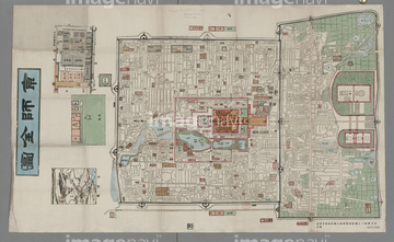
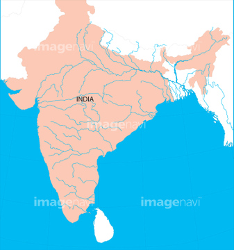
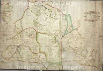
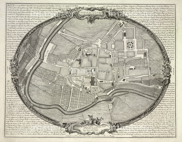
10,000Œڈ‚جژتگ^‘fچق‚ھŒںچُ‚³‚ê‚ـ‚µ‚½پB
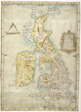
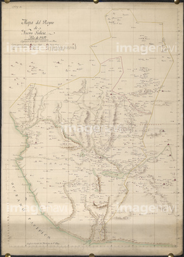
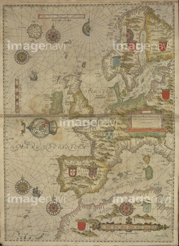
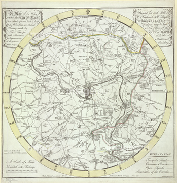
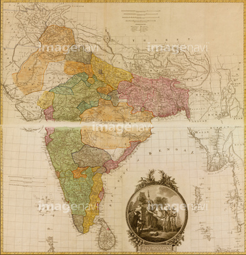
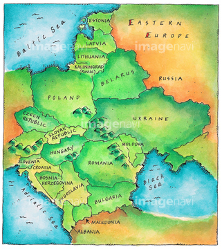
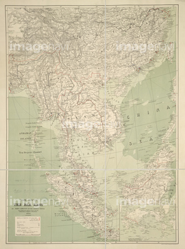
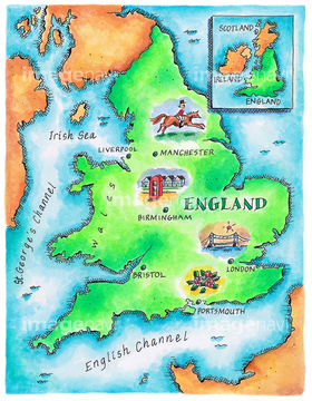
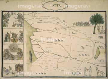
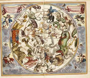
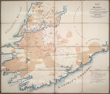
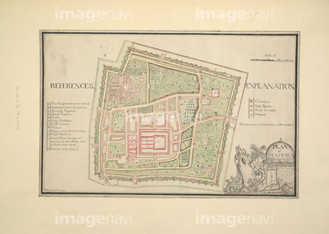
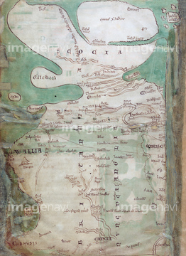
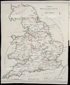
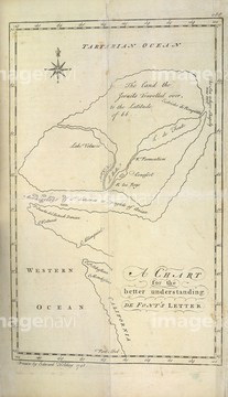
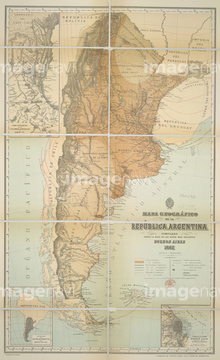
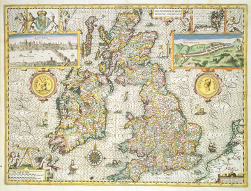
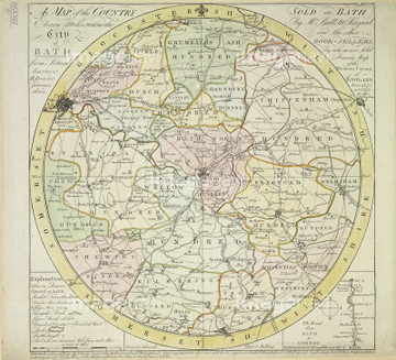
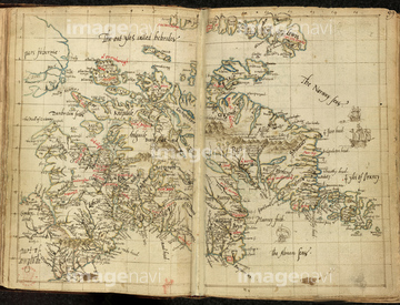
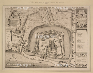
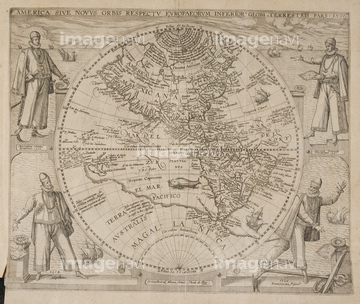
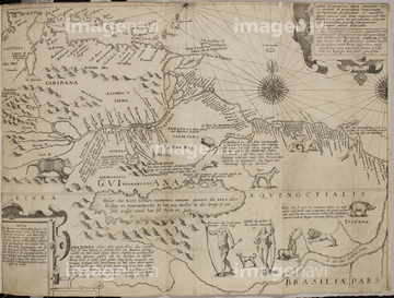
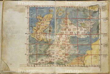
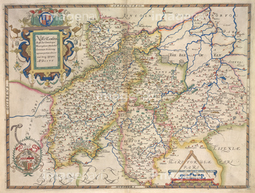
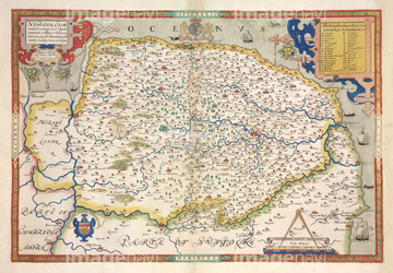
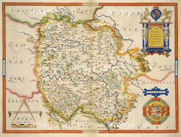
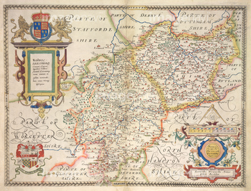
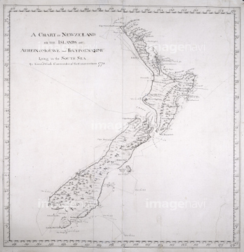
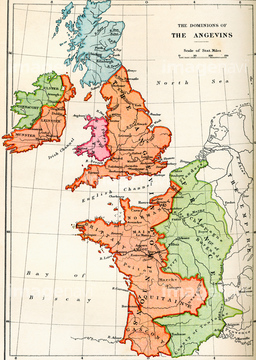
‚±‚جŒںچُŒ‹‰ت‚ة‚حپAMap of the British IslesپAMap of New Galicia, MexicoپAA map of Britain and Western EuropeپA5 Miles round the City of BathپAMapa de EspanaA map of Spain16th centuryپAA Map of part of Tibet‚ب‚ا‚ھٹـ‚ـ‚ê‚ؤ‚¢‚ـ‚·پB
64082961
64083309
51914937
64082937
10918538
10918543
64082905
64083137
64082729
64083023
53108399
51436203
64082939
64082975
64082696
64082910
64082920
64083088
64083109
64083122
64082993
64082994
51464406
51466701


30038114
64082992
51435909
51436201
64082901
64082944
64082909
64082891
64082622
64082628
64082785
64082858
64082881
64082906
64083312
64083313
64083367
64083381
64082624
64082986
64082956
64083082
64083083
64082784
64082739
51436314
30038106
64082996
30038097
30038081
30038082

30038116
51435518
64082854
64082861
64082898
64083032
64083062
64083077
64083139

10122909
64082642
64082744
64082799
64082842
64082921
64083016
64083085
64083107
64083114
64083152
64083297
64083311
64083349
64083479
64083123
64082746
64083089
51481063
51463682

64055077

64055078
64082644
64082718
64082751
64082773
64082780
64082786
64082848
64082894
64082908
64082929
64082930
64082983
64082987
64082990
64083011
64083014
64083040
64083053
64083060
64083090
64083135
64083173
64083178
64083303
64083364
64083370
64082615
16907883
64082964
64083087
64083156
64083465
64082623
64082647
64082689
64082724
64082733
64082762
64082770
64082772
64082831
64082834
64082853
64082860
64082884
64082903
64082946
64082955
64083018
64083080
64083086

64083153
64083291
64083340
64083382
64083501
64082726
64082748
64082805
64083506
64083507
64082722
64083326
64083327
64083328

64083329
64083330
64083331
64083332
64083333
64083334
64083335
64083336
64083337
64083338
64083353
64083354
64083355
64083356
64083429
53107543
64082625
64083034
64083098
| ژںƒyپ[ƒW |
