HOME > ژتگ^ > ڈو‚蕨پEŒً’ت > Œً’تƒCƒپپ[ƒW > ’nگ}
10,000Œڈ‚جژتگ^‘fچق‚ھŒںچُ‚³‚ê‚ـ‚µ‚½پB
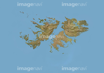
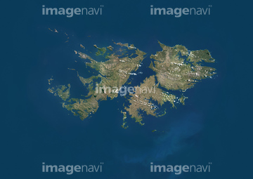
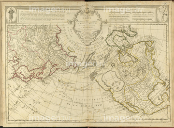
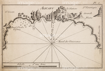
‚±‚جŒںچُŒ‹‰ت‚ة‚حپAFalkland Islands, Satellite Image With Bump EffectپAFalkland Islands, True Colour Satellite ImageپASiberiaپAPort of AlicanteپASurviving fragment of the first World Map of Piri پcپARussia‚ب‚ا‚ھٹـ‚ـ‚ê‚ؤ‚¢‚ـ‚·پB
64083146
51469897
64083039
64083474
64083475
64083476
64083477

64083420
51417139
64083160
64082899

51911392
64083181
64083124
64083126
64083127
64082892
64083058
64083159
64083162
64083167
53118368
51422878
51417147
51417261
64082657
64082774
64082794
64082902
64082958
64082981
64083168
64083294
64083380
64083389
64083112
64083151
64082648
64082669
64083017
64083444
64083445

64082870
64082895
64082896
64082926
64082952
64082960
51477563
51480428
51482640
51469898
51464106


64083449

64083504
64082697
64082814
64082933
64083179

51459589


51916070
64082678
64083150
51417264
64082945
64083095
64082725
64082954
64083094
64082957
64083163
64083161
51911391

64083130
64083164
51452382
51453391
51451012
51981632

64082868

64052698
64082698
64082747
64082750
64083036
64083402
64083437
64083460
64083462
64083468
64083180
64083352
64083496
51451137
51451139
51451516
53134545

51422887

53133038
64082687
64082694
64082707
64082710
64082874
64082999
64083009
64083024
64083033
64083092
64083093
64083117
64083169
64083176
64083283
64083285
64083287
64083288
64083302
64082688
64083415
64082691
64083430
| ژںƒyپ[ƒW |
