HOME > ژتگ^ > ڈو‚蕨پEŒً’ت > Œً’تƒCƒپپ[ƒW > ’nگ}
10,000Œڈ‚جژتگ^‘fچق‚ھŒںچُ‚³‚ê‚ـ‚µ‚½پB
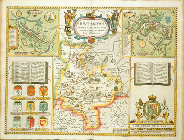
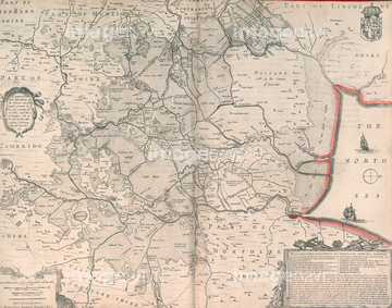
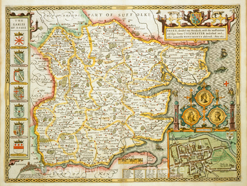
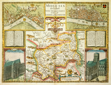
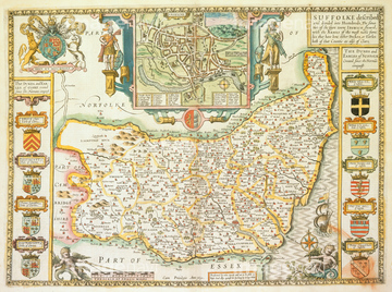
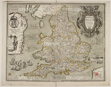
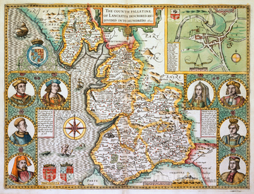
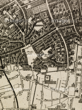
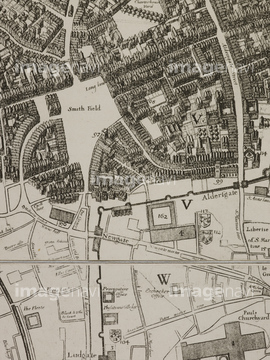
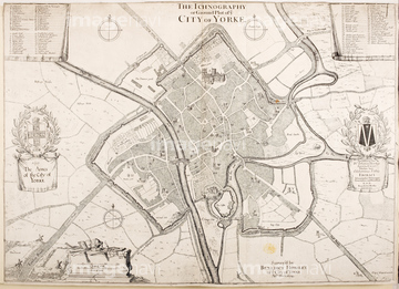
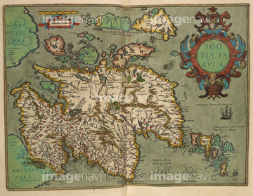
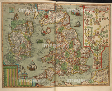
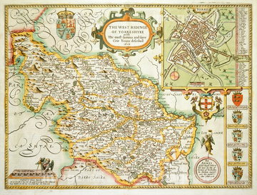
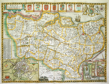
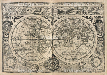
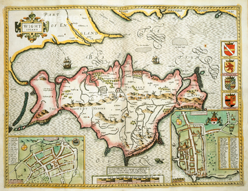
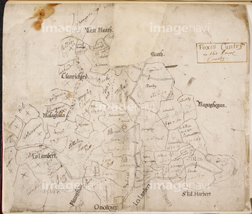
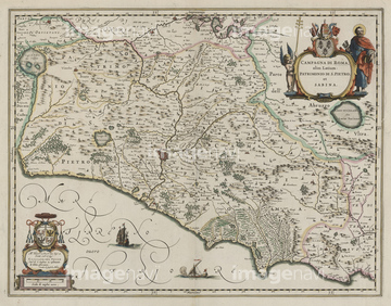
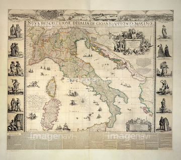
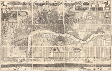
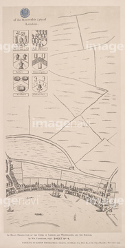
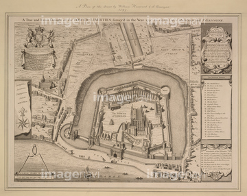
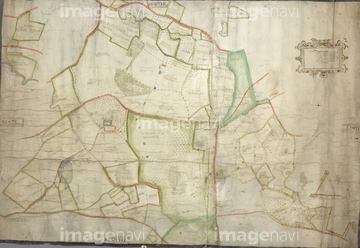
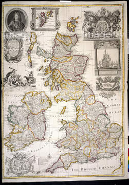
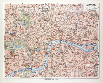
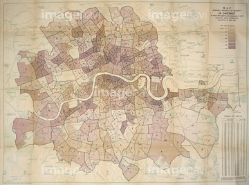
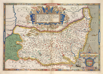
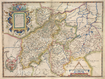
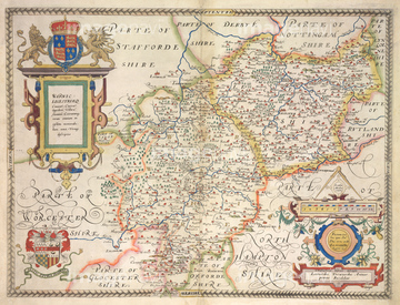
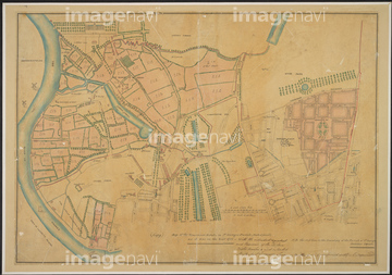
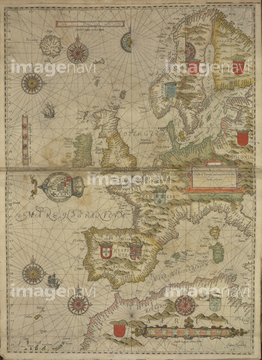
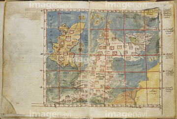
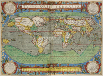
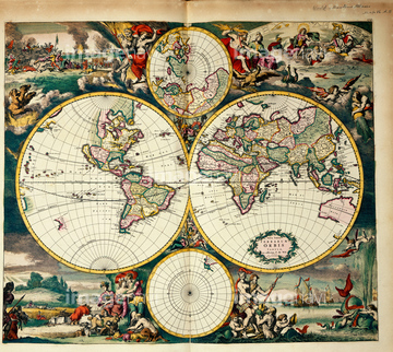
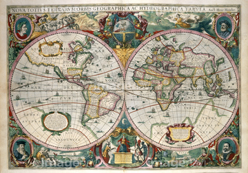
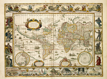
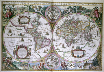
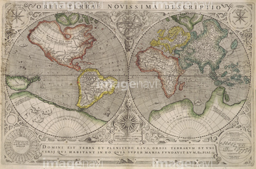
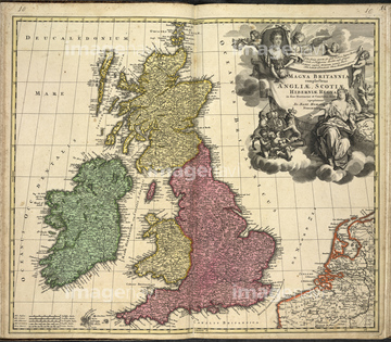
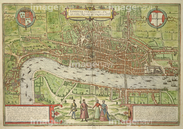
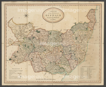
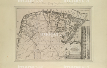
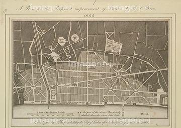
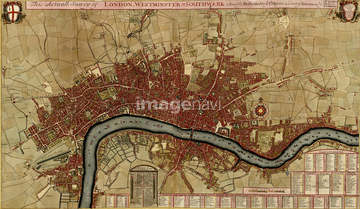
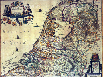
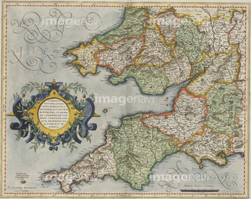
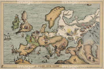
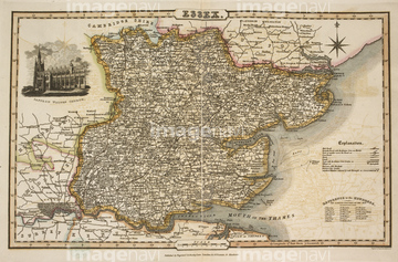
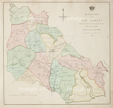
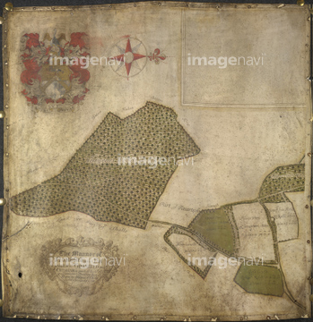
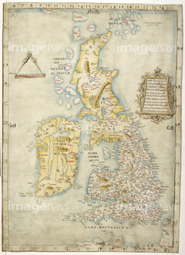
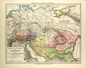
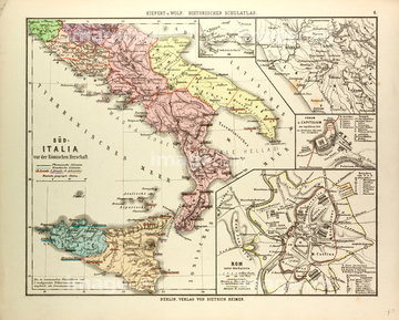
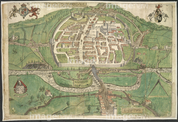
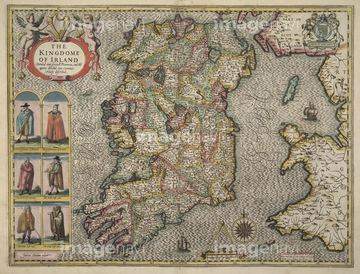
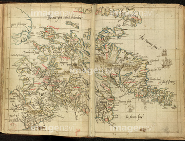
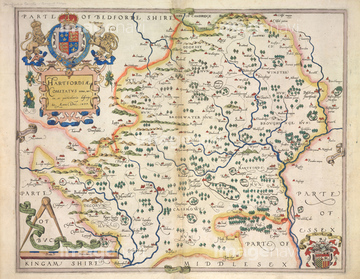
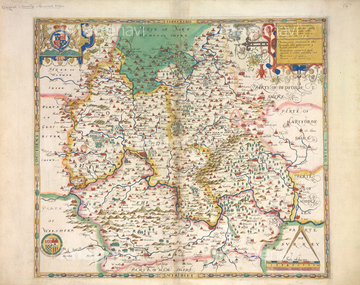
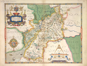
‚±‚جŒںچُŒ‹‰ت‚ة‚حپAMap of Holland.پABritainپAMap of Transylvania, Roumania 1622پAMap of BritainپABritish Empire mapپACivitas Londinium.‚ب‚ا‚ھٹـ‚ـ‚ê‚ؤ‚¢‚ـ‚·پB
64083064
64083499
64083500
64083443
64083487
64082683
64083427
64083401
64083001
64083417
64083461
64083132
64083406
64083041
64083480
51489943

64083478


64083436
64082723

64083449
64083517
53142131
64082622
51492537
64083129
64083131

51435724
64082769
64082676
51491276
51436293

51436648

51437242
64083460
64083382
64082964
64083156

64055077

51437221

51436287

51436290
64082623
64082693

51410014

51436182

64083504

51436129
64082644


64083442
64083075
64082955
64083113
64083432

64083329
64083333
64083334
64083337
64083384
53101239
53118920
53142129
64083437
64082956
64082726
64082614
64082631
64082632
64082639
64082665
64082667

51435721

51435723

51435730

51435725

51435729

51435731

51435735

51435558

51435734

51435921


51436391

51436112

51436398

51436414

51405941

51405946

51410015

51410019
53127397

51411465

51411448

51411513


51411449

51411504

51411511


51459551
51472464
51459580
64082987

51422156
64082909
64082881
64083312
64083313
64083381
64083045
64082655
64083104
64083377
64083379
64083429
64083407

64083036
64083044
64083488
64083508
64083494
53131308
64082891
64082624
64082762
64082770
64082853
64082860
64083018
64083330
64083331
64083332
64083335
64083336
64083338
64083353
64083354
64083355
64083356
64083373

64055076

51421591
| ژںƒyپ[ƒW |
