HOME > ژتگ^ > ƒrƒWƒlƒX > ƒrƒWƒlƒXƒCƒپپ[ƒW > ƒOƒچپ[ƒoƒ‹
10,000Œڈ‚جژتگ^‘fچق‚ھŒںچُ‚³‚ê‚ـ‚µ‚½پB
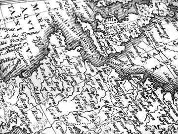
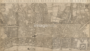
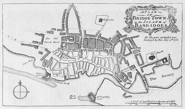
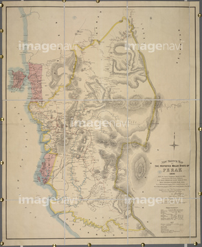
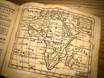
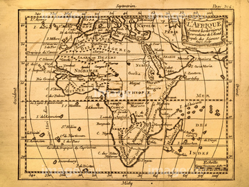
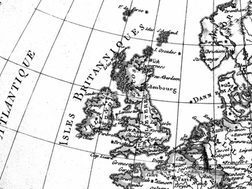
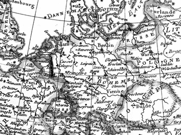
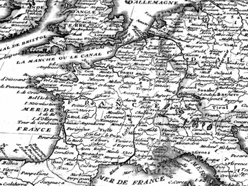
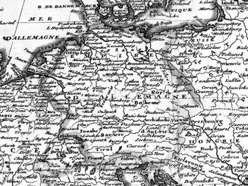
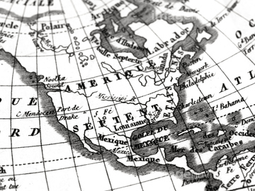
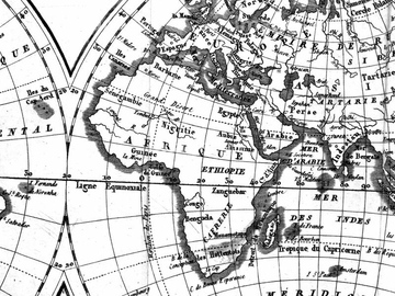
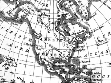
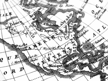
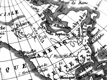
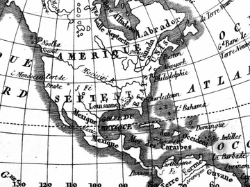
‚±‚جŒںچُŒ‹‰ت‚ة‚حپAƒAƒ“ƒeƒBپ[ƒN‚جگ¢ٹE’nگ}پAŒأ‚¢گ¢ٹE’nگ}پ@ƒtƒ‰ƒ“ƒXپA“ْ–{‚جگ¢ٹE’nگ}پAŒأ’nگ}پ@ƒAƒپƒٹƒJپEƒjƒ…پ[ƒپƒLƒVƒRپAƒAƒ“ƒeƒBپ[ƒN‚جگ¢ٹE’nگ}پ@ƒAƒپƒٹƒJپAƒAƒ“ƒeƒBپ[ƒN‚جŒأ’nگ}پ@گ¢ٹE’nگ}‚ب‚ا‚ھٹـ‚ـ‚ê‚ؤ‚¢‚ـ‚·پB
64083404

40560208
40561443

40560211

40544551
64082813

40560209

41123621
41123622

41123623
64083401
64082785
64082615
64082763
64082863
64083298

51424033

40560210

40560213
51980256
40534588

51426610

41099915

41099916

41099917

41421811
41455214
41455218

41455220

41455221
41455224

41455225

41455226
41455227
41455230
41455244

41455246

41455248
41455282
41455283

41455286

41421458
41421459

41421460

41421465
41421467

41421470

41421473

41421497
41421498
41421499
41421500
41421501
41421502
41421503

41421504

41421506

41421507

41421530
41421570
41421571
41421578
41421579

41421602
41421603

41421607
41421608
41421623
41421624
41421625
41421626

41421685

41421686

41421687

41421688
41421697

41421698
41421699
41421715
41421730
41421731

41421737

41421803

41421804

41421805

41421806

41421807

41421808

41421817

41421819


41421824

41421825

41421826

41421827

41421828

41421829

41421830

41421831
41421832

41421833
41421851

41421852
41102765
41102766
41102767

41087391

41088180

41088181

41088189

41088190


41088221

41088253

41088261


41088270
40556471
40556472
40556473
40556474
40557032

40560915

40560916

40560920

40560921

40560926

40560927
40538961

40538971

40544556
40533709

40533712
40533713

40533714

40533722

40533723

40533725

40534570
40534572
40534575
40534576
40534578
40534579
40534581
40534582
40534583
40534586

17231119
17231120

17231121

17231122
17231123

17231124

16922577

64059896
51426609
70110865
70254835
64083015
10918545

10918546

54001367

10903460

41099909
41099910

41099911
41099912

41099913

41099914

41099947

41099948

41099949

41099980
41099981
41099982
41455215
41455219
41455222
41455231
41455243
41455247
41455284
41455287

41421472

41421505

41421606

| ژںƒyپ[ƒW |
