HOME > ژتگ^ > ڈو‚蕨پEŒً’ت > Œً’تƒCƒپپ[ƒW > ’nگ}
10,000Œڈ‚جژتگ^‘fچق‚ھŒںچُ‚³‚ê‚ـ‚µ‚½پB
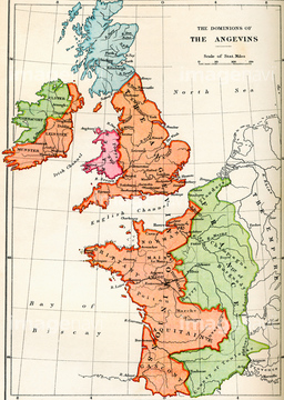
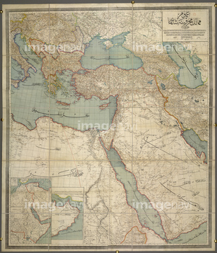
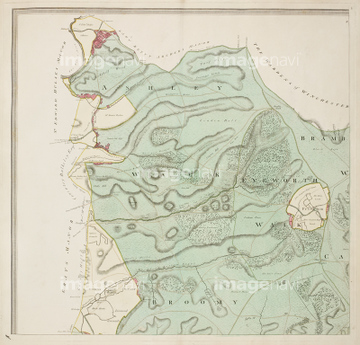
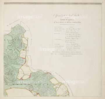
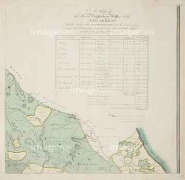
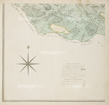
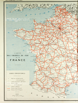
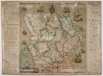
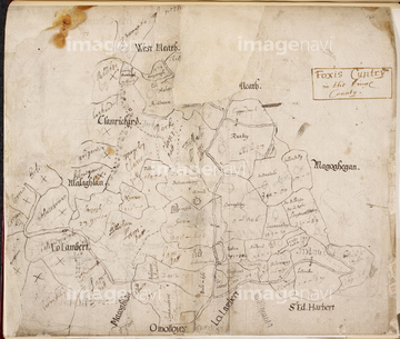
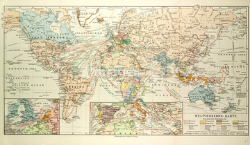
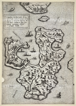
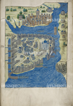
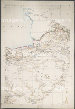
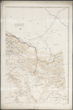
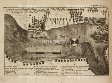
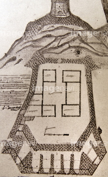
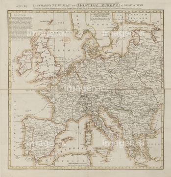
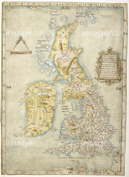
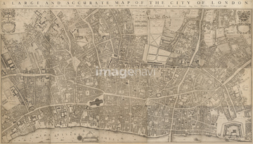
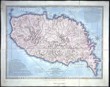
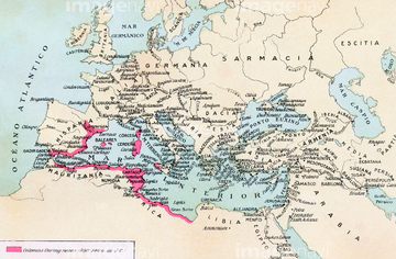
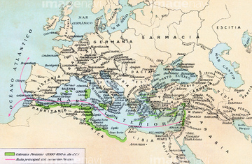
‚±‚جŒںچُŒ‹‰ت‚ة‚حپAMap Of The Monuments In ParisپAMap of Belgrade during the siege of 1693پAMap Of Western Europe And The Roman EmpireپAMap of Castillo and Acapulco in the 18th CenturyپAThe Ottoman EmpireپAA detailed survey map of the New Forest‚ب‚ا‚ھٹـ‚ـ‚ê‚ؤ‚¢‚ـ‚·پB
64083484
64082702
64082617
64082672
64082701
64052701
30038124
64083481
30038093
30038106
64083436
64083407
64083417
51435743
64083098
64083480
53142378
64082736
64083414
64083416
64083409
64083429
64083034
64052700

64052695
64082910
64083122
64082733
64083096
64083099
64083425
64083434
64083472
51914937
64082700
64082692
64083499
64083500
64083460
51472433
51472458
64083119
64082625
30038090
30038097
30038120
64082743
64083357
64083358
64083359

30038082
64083289
16907913
64082696
64083088
51903206
64083016
64082618
51904400
51913568
51472435
51472440
51472446
51472447
51472450
51472451
51472452
51472456
51472459
64082683
64082750
64082769
64083408
64083426
64082660
51472322
51906178
64083123
51472455
64083437
64083461
51472460
51472461
64082666
30038103
64082732
51472448
51472449
64082720
51472426
64083441
51472420
64083411
64083496
64083483
53142131
51472425
51472415

64055077
51472437
64083444
64083445
30038111

64055078
64082920
64082626
64082911
64082912
64082913
64082914
64082915
64083435
64082993
64082994
64082734
64082612
30038105
64083462
64083442
64083497
64083049
64082624
64082891
64082956
51931653
51496035

51436205
64083465
64082722
64083438
64083401
64083138
64083415
51472441
51472442
51472443
51472444
51472445
51472457
51472462
51472463
51472464
64082698
64082747
64083422
64083468
64083469
51468765

64082642
64082799
64083085
64083107
64083114
| ژںƒyپ[ƒW |
