HOME > 写真 > 自然・風景 > 宇宙 > 地球
10,000件の写真素材が検索されました。
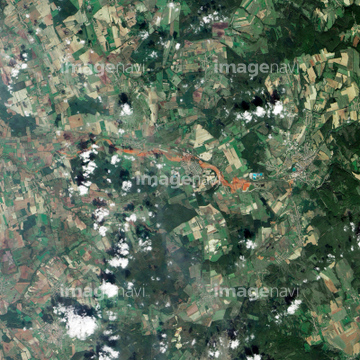
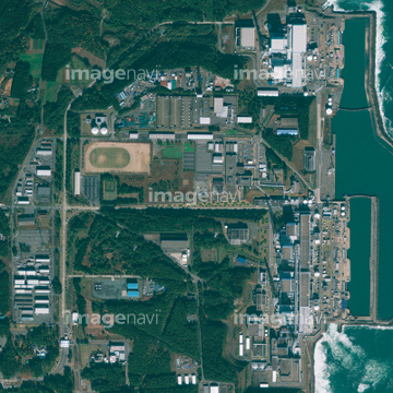
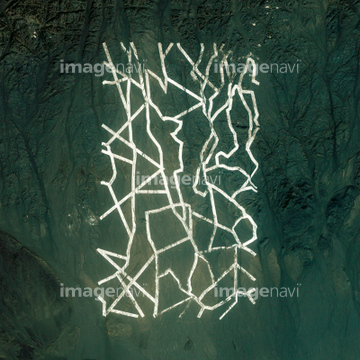
この検索結果には、Rikuzentakata, Japan, satellite image、Shinchi, Japan, satellite image、Natori, Japan, satellite image、Earth and Moon from Saturn, Cassini image、Northern Europe and the Arctic、Northern Asia and the Arcticなどが含まれています。
64086398
64086389
64131364

64075683

64067295
64115822
64087306

64067292

64045782

64086393

64040007

64040009

64040010

64040011

64040012

64040013

64040014

64040015

64040016

64066734

64074793
64040979
64039902

64091493
64131367

64078001
64078002
64078003
64078004
64078005

64011192
64115743

64011207

64086428

64098673

64098684

64098688

64098690

64059340

64059343

64059349

64059356

64075190

64075191


64075196

64075197


64040008

64074792
64086495


64086685
64109562


64059355


64074359


64098666


64087811

64041383

64041390
64064273

64011490
64058334
64252934

64098807

64141184

64098696

64098702

64059357
64115739
64062355
64062357
64086419
64086385

64109441

64109442

64109463

64109464


64109527

64109558


64098677

64098678

64059352

64059353
64045794


64072059

64072060
64075188


64059363

64044741


64074871

64257529

64075837

64075839
64075840

64075841

64225984

64082370
64087844

64092229
64053688

64041342
64040017

64040018

64129762
64011918
64064295

64046391

64047110

64109563
64075189

64086667

64093933

64097610


64115720

64067332

64089706
64253228
64131368

64011200


64109433

64109438

64109444

64109460
64059714
64011202


64059347
64059348

64059350


64087817

64098804

64062425

64062429

64053684

64040980

64072485

64072486

64072491

64073666

64011203

64011211

64011214

64011215

64011221

64011223

64011225

64011231

64242042

64085877

64085878

| 次ページ |
