HOME > 写真 > 自然・風景 > 宇宙 > 地球
10,000件の写真素材が検索されました。
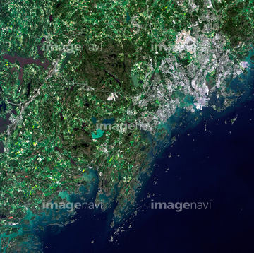
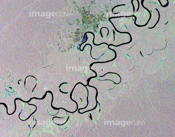
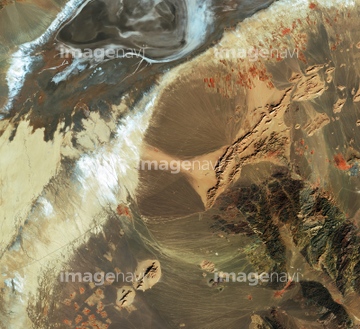
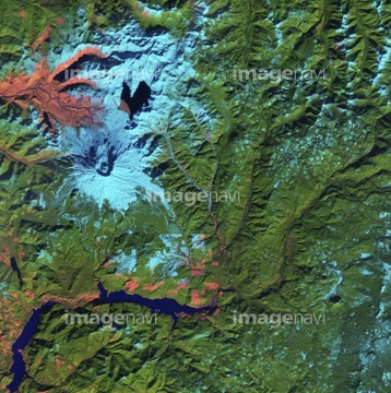
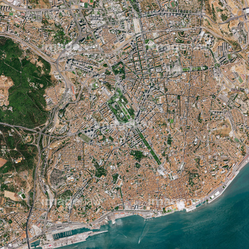
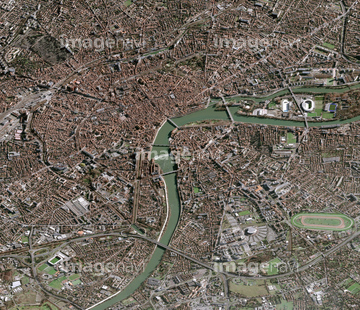
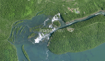
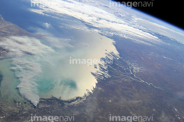
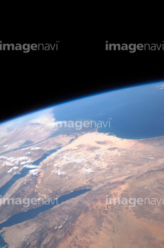
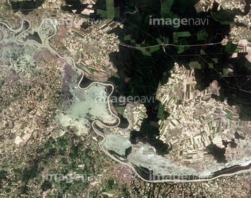
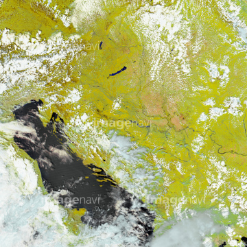
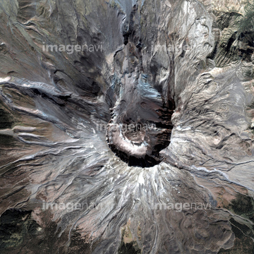
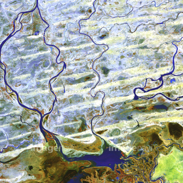
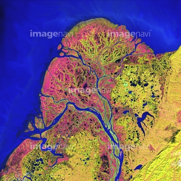
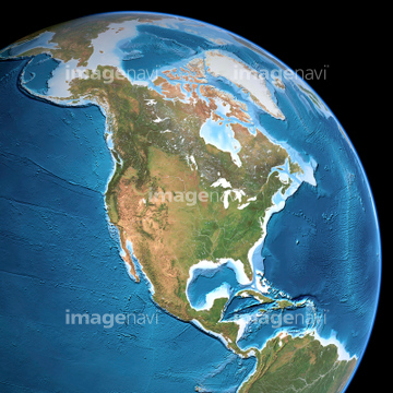
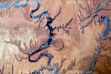
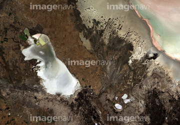
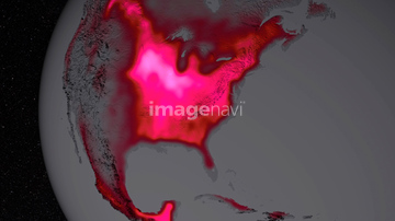
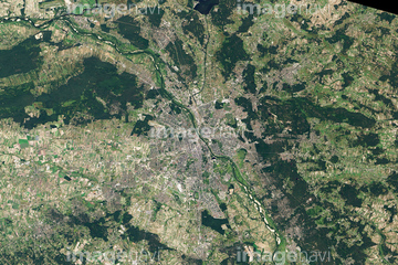
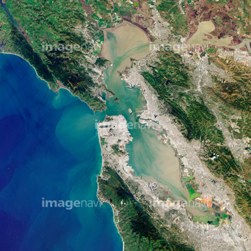
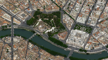
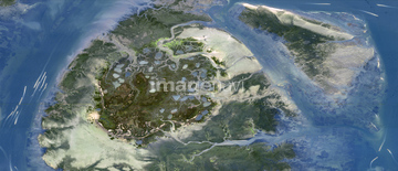
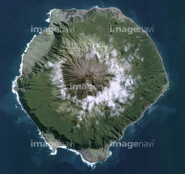
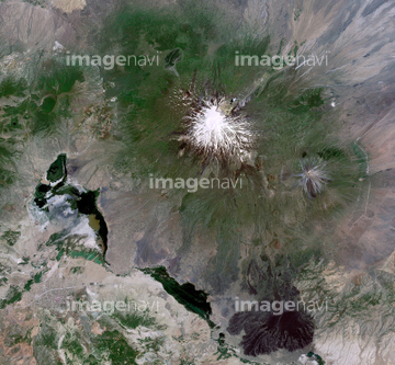
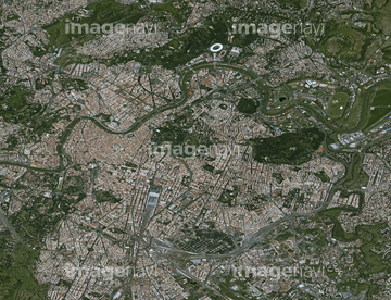
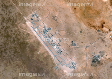
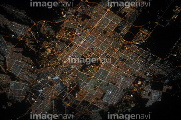
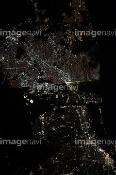
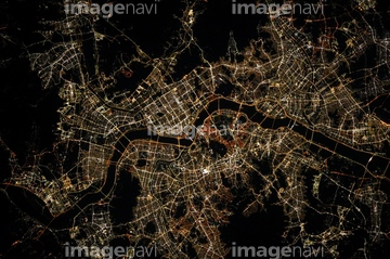
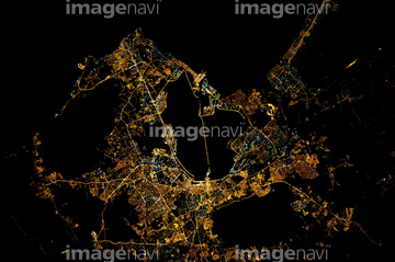
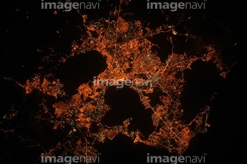
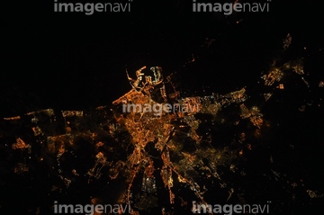
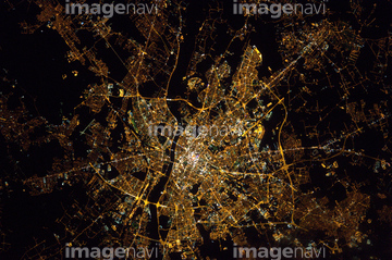
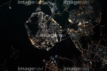
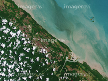
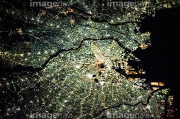
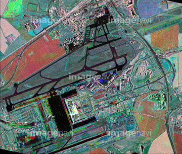
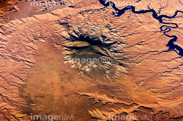
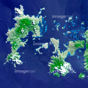
この検索結果には、World map, January 2004、Bissagos Islands, satellite image、Sakha Republic, Russia, satellite image、Green river canyon, Utah, ISS image、Lisbon, Portugal, satellite image、Toulouse, France, satellite imageなどが含まれています。
64087305


64062426
64087306


64093933
64011210
64131460
64076173
64063156
64063157

64067343
64109677

64139331

64096996
64131362

64141184

64098808
64059363
64161003


64090826
64139347

64086667
64039902

64210710
64115739
64096998
64141178
64087826
64096039


64091420

64091493
64141174
64100576

64088728

64098673
64087844

64044741

64087812


64096983
64259647
64259732
64260474

64046357
64047084
64049119

64074420

64074422

64170235

64170236

64100584

64046391

64053325
64015483
64016071

64084877
64096984
64139338

64011212

64072495

64062355

64087817
64087825
64088679

64098666


64098677

64098678

64098684

64098688

64098690

64098804

64102918


64259481

64259482


64259490

64259656
64259657


64260477
64260478

64043083
64211648


64214597


64242042

64243149

64251605

64253111

64253112


64059340


64059343

64059349

64059352

64059353


64059355

64059356


64062425


64062428

64062429


64046358

64047110


64047389

64044793

64049125

64049194

64051876

64053256

64053257

64053258

64053259

64053260

64053315

64053368

64053369

64053371

64053372

64053385

64053561


64053684

64053686


64009992

64010000

64010005

64040007
| 次ページ |
