HOME > 写真 > 自然・風景 > 宇宙 > 地球
10,000件の写真素材が検索されました。
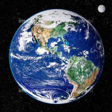
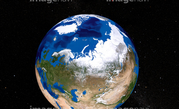
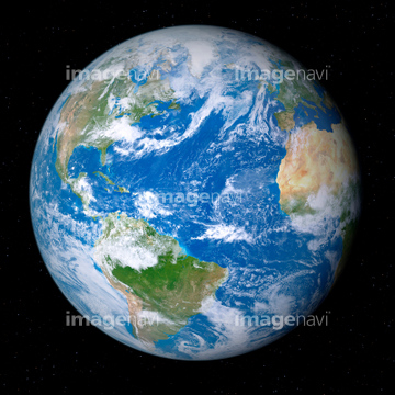
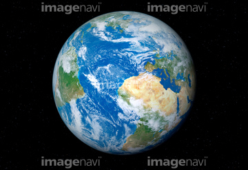
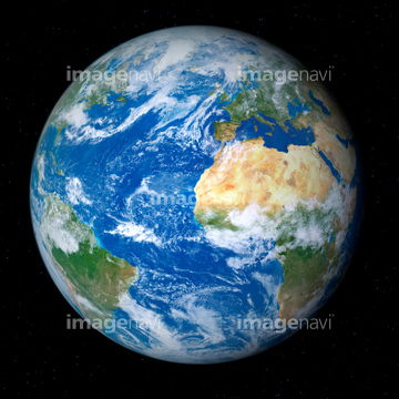
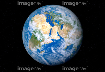
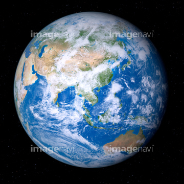
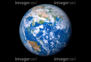
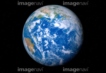
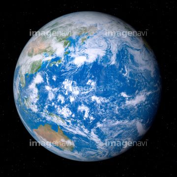
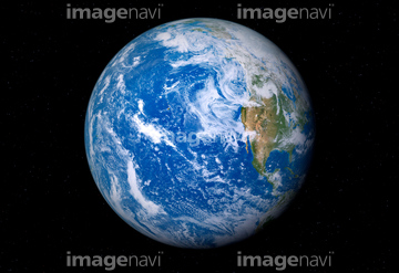
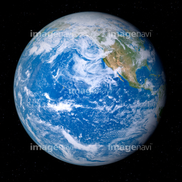
この検索結果には、宇宙から見た地球(NASA提供)、Atlantic Ocean, sea floor topography、Earth, artwork、Australia, ISS image、Walker Lake, Nevada, ISS image.、Tabun Khara Obo crater, Mongoliaなどが含まれています。
64087826
64259657

64074420

64210710
99046160

64088728
64076172
64087844

64087305
99046110
99046144

64074359
64210708
64251605

64059353
64083781
64115743

64067295

64075683
64131364

64087812


64242042

64243149


64039902
64064295
64096998
64016134
99046023
99046089
64131368

64067292

64011490
64115739
64062357

64045782
64040979
64214512
64131367
64086398

17200250

64087817


64096983

64102918

64083581

64083582
64165592

64170236
64259005

64259482


64259490
64259491

64259656


64260474

64043083

64043123
64254515


64210700

64211648


64214597
64235338
64235896
64235901


64252846

64220039


64097527


64059355


64062174

64062175
64062204
64062205


64064274
64043655
64043656
64043657
64043658
64043659
64043660
64043661

64046357
64046358


64047084


64047389
64048952
64048953
64048954
64048955
64048956
64048957
64048958
64048959
64048960
64048961

64049125
64049174
64049175
64049176
64049177
64049178
64049179
64049180
64049181
64049182
64049183
64049184
64049185

64049194
64049196
64049197
64049198
64049202
64049203
64049204
64049220

64053256

64053257

64053258
| 次ページ |
