HOME > 写真 > 自然・風景 > 宇宙 > 地球
10,000件の写真素材が検索されました。
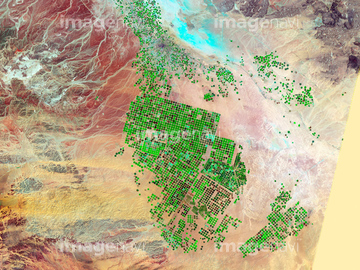
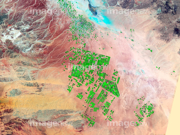
この検索結果には、Saudi Arabia agriculture, 2012、Saudi Arabia agriculture, 2000、SMOS satellite, artwork、Ring of Gullion, satellite image、Antarctic ice melt due to heat wave, satellite ima…、Canberra, Australia, satellite imageなどが含まれています。
64087831

64087873

64087874
64091420
64091427

64097610
64087844
64091428

64098804

64098808

64092867

64092868

64009992

64253111

64253112
64141170
64097621
64210708

64092866

64051876


64129762
64109421

64098803
64010100

64057574

64057582

64057615


64010000

64010005

64100584

64102918


64059343

64059349


64059355

64059356

64059357

64059362

64064291
64064294

64046391

64053325

64053686


64098673

64098680

64098681

64098684

64098688

64098690


64098702

64098806

64098807
64064292
64064293

64092865
64097127
64044793


64041386

64041387

64041388


64041391

64041392

64073662
64017038
64073659

64057573

64045766

64057613
64010007
64075178


64214598


64139331

64139332

64139333


64210710


64017024

64064290
64087825
64139336
64097599

64098693
64115822
64100567
64009996
64009999
64010004
64010006

64149307

64105663
64105664

64057571

64057572

64057586

64057614

64057617

64059203

64067341

64067342

64067343

64067344
64075188
64075189

64075190


64100572
64149139

64097622

64059347

64011094

64011098
64011099
64011100


64074902

64210700


64263649
64074361
64096998
64259487

64041342
64131460
64062357

64084875
64131365

64011200


64046357
64047084

64047110


64047389
64049119

64049125


64053684


64040980

64041895


64073758

64074359

64074360
| 次ページ |
