HOME > 写真 > 乗り物・交通 > 航空 > 飛行機
10,000件の写真素材が検索されました。
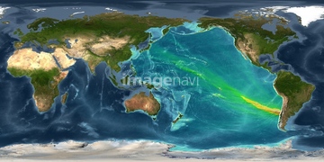
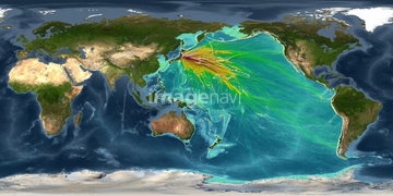
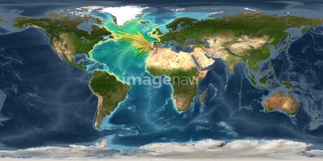
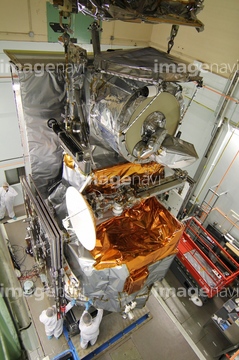
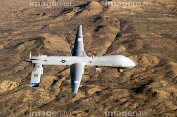
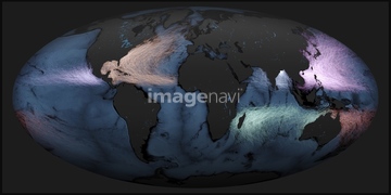
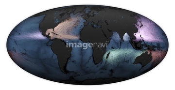
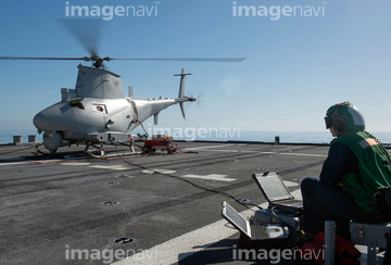
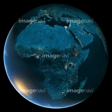
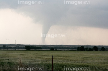
この検索結果には、UAV factory construction worker、US Navy drone、Gilmore Creek ground station、Bicycle tyre、World weather, satellite image、World map, satellite imageなどが含まれています。
64091526
64091527
64092888
64092889

64116457

64116458
64086535
64066121
64066123
64092886
64092887

64111502


64106823
64106828

64253080
64253096
64083572
64083573
64083576
64060800
64060802
64051190
64168451

64170107
64025791

64088667
64130317
64050540
64124769
64037322
64111492
64111493
64111494
64098416
64243651
17276956
17276957

64041383

64041390
64111506
17231088
17231089
17231090
17231107
64050542
64111499
64025262

64091546
64043832
64155210
64155211
64091517

64146819
64146820

64173035


70571190

64053690
64111501
64111507
64091089
64091091
64111446
64111447

64088450


64190450
64190451

64252300
64252301
64027954
64027955
64097659
64053688
64051856
64025238
64210698
17280822
17280823
64214079
64214080
64023574
64025556
64193301


64168208

64091515
64091519
64050655
64025810
64025811
64117356

64052021
64052026
64156715
64170187
64027979
64074825

64065360

64024236
64052405
64092890
64111490
64111491
64111495
64128377

64257529
64246055
64025233

64025234
64025235
64025237
64025251
64025253
64025258
64025259
64025261
64025357
64188718
64025529
64234723
64027967
64098421
64105959
64093878
64141435
64106242
17200276
64146823
64146824
64146825
| 次ページ |
