HOME > 写真 > 自然・風景 > 宇宙 > 地球
10,000件の写真素材が検索されました。
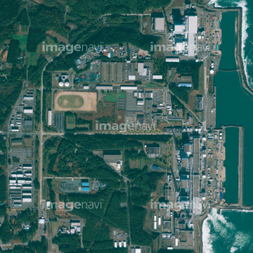
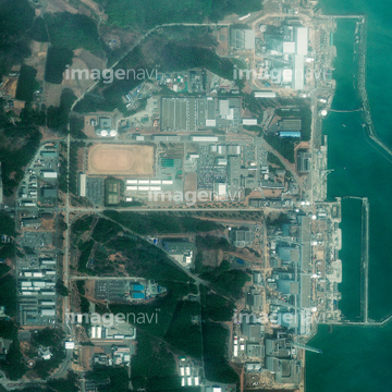
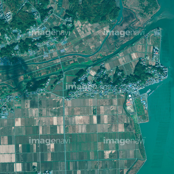
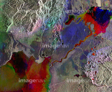
この検索結果には、Rikuzentakata, Japan, satellite image、Shinchi, Japan, satellite image、Natori, Japan, satellite image、Lakes in western Uganda, satellite image、Virunga Mountains, satellite image、Richat Structure, 3D anaglyphなどが含まれています。

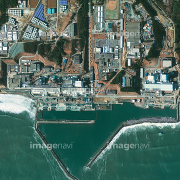
64097621
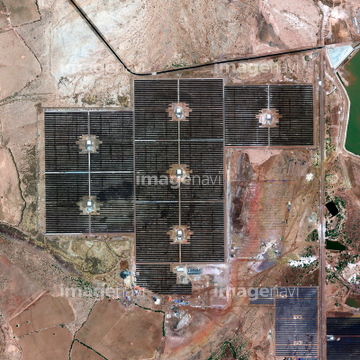
64168425

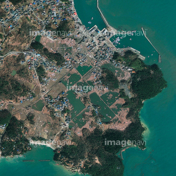
64097622

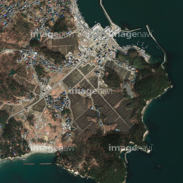
64040182

64040183

64040184
64093900
64093902

64087874
64067564
64210708

64087831
64087873
64091420
64091427

64092867

64092868


64149139
64067283


64067291

64067292

64067293

64067300
64093901
64123537
64088741
64088745
64088746
64075188
64075189

64075190

64075191


64075196

64075197
64091428

64129762
64144545
64100576

64092865

64092866

64097610


64053684

64053686


64073758


64091493
64096325
64096326


64131456
64078001
64078002
64078003
64078004


64085875

64085876

64085877

64085878

64085879

64085880


64085887


64043083

20543741
17200246
64141170

64111650

64263237
64263238

64053256

64053257

64053258

64053259

64053260

64053315

64053325

64053368

64053369

64053371

64053372

64053385

64053561


64073659

64073662


64073664

64073665

64073666

64074359

64074360
64074361

64074418

64074420

64074421

64074422

64074424

64074792

64074793

64011200

64011203

64011207

64011211

64011214

64011215

64011221

64011223

64011225

64011229

64011230

64011231

64043123
64194875
64158202
64086385
64087306

64141184

64059345
64059360
64059361

64060109

64060110

64067331

64067342

64067343

64067344

64086685

64087817
64090853
64096987
64096996
64141174
64115822
64098803

64098804

64098806

64098807

64098808
64100567


64195586

| 次ページ |
