HOME > 写真 > 自然・風景 > 宇宙 > 惑星
10,000件の写真素材が検索されました。
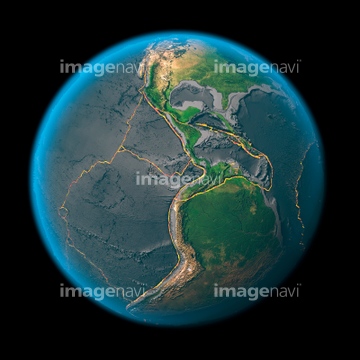
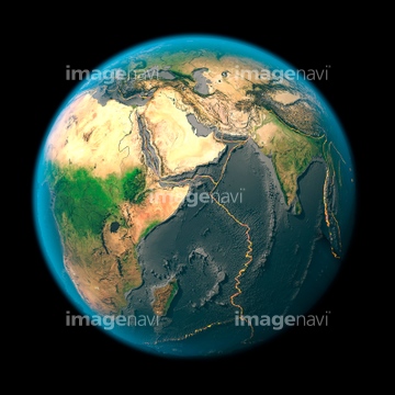
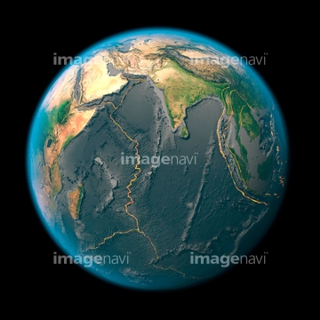
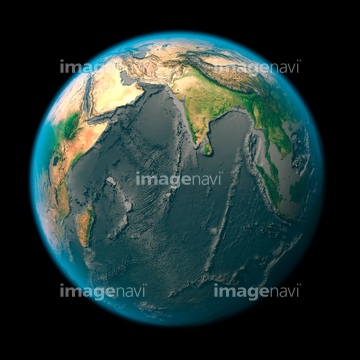
この検索結果には、East Asia, satellite image、Global tectonics, mid-Atlantic Ridge、Global tectonics, the Americas、Global tectonics, Arabia and Indian Ocean、Global tectonics, Indian Ocean、Global tectonics, Pacific Plateなどが含まれています。
64105953

64088450
64105961
64105962
64105951

64106283

64260979
64105960
64105954

64105944
64106821

64106823

64204970


64059717


64105949
64105956
64105959
64123566

64040008

64074792

64040009
64109467
64105946


64215904


64011203

64011211

64011230

64040007

64040010

64040013

64074793
64123565
64123567
64123569
64123570
64123571

64105772

64088667
64106822
64059339
64109468
64086526


64109422

64109527

64109558
64105955

64106820

64253423
64190780

64053256

64053257

64053258

64053259

64053260

64053368

64053369

64053371

64053372

64053385

64053561


64100576
64086531
64086532

14909544
64257411
64129763

64058420

64058421
64112900
64052747
64111651

64075591

99046196
99046197
64109677


64040177

64040178

14911137
14911138
30074272
64086527

21855584
41525497
41525498
41525499

14915397
14915399
64121962

14911144
14911145
21858574

21858575
10171543

64074418
64094269
64094283
10994719

64085876

64085879

64085880

64263237
64263238
64206258
64206259
64237590
30403895

64145886

64131456


41527629
41527630

41527649
41527654
41527668
64200590

64074360
00008417

64253424
64253425
64253426
64253427
64253428

10171019

10171020
41166146

41236146

41236147
64141450
64162892

64178179
64047394

64085875
64112894
64058322

64086667

17200253
64106254
| 次ページ |
