HOME > 写真 > イラスト・CG > ビジネス > ビジネスイメージ
10,000件の写真素材が検索されました。
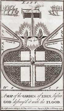
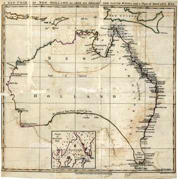
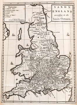
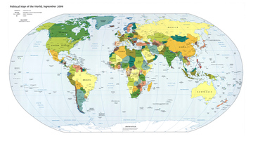
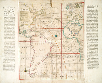
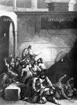
この検索結果には、16th Century Plan of Rome、18th Century map of London、Portuguese atlas page, 16th century、15th Century map, artwork、17th Century map of America, artwork、Amerigo Vespucci, Italian explorerなどが含まれています。
64107454
64107450
64107451
64107452
64107453
64124721
64116814
64088155
64089082
64120023
64045004
64116817
64116819
64045003
64089074
64116818
17268591
64091457
64217859
64046155
64046156
17287200
17296370
64168234
64264503
64120021
64120022
64261929
64096848
64047819
17296371
17296373
64045000
64029644
64089072
64050949
64050950
64045821
64046159
64089035
64089037
64159602
64238672
64089032
64116815
17277158
17277195
64042641
64045852
29041647

17277072

17277073
17277084
17277092

17277137
17277203
64047144

17277093

17277094
17287166
64029645
17290942
17296374
64062602
64041741
64041742
64041743
64043174
64044503
64045830
64087009
64045819
64048837
64045223
64047817
64047820
64053050
64119864
64248339
64116174
64046201
64239174
64239356
17284016
64116142
64116821
64189279
64184188
64050948
30047308
64044999
64116135

64097794
64047010
64062628
64062629
64042642
64053495
64261063
64159700
64097772
64167766
64120526
64109782

17277951
64044987
64044988
64044994
64044995
64045007
64116138
64042727
64042728
64047803
17250087
17250088
17250089
17250090
17250092
64062251
64062252
30038076
64045231
64261811
64120523
64116143
64233301
64217857
64097788
64047810
64047821
64109434
64109435
64109436
64109445
17249357
17249358
17249359
17249360
17249361
64048772
17287178
| 次ページ |
