HOME > 写真 > イラスト・CG > ビジネス > その他の職業
10,000件の写真素材が検索されました。
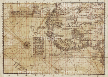
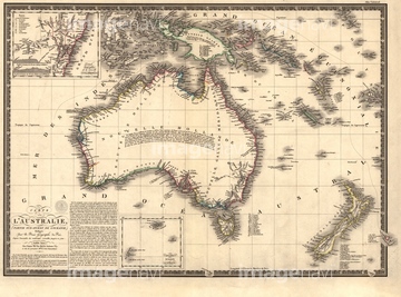
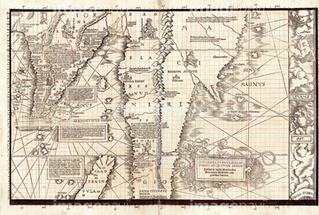
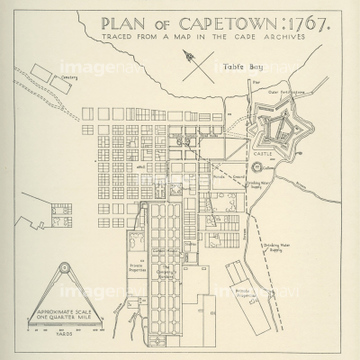
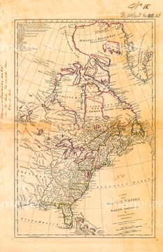
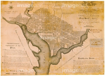
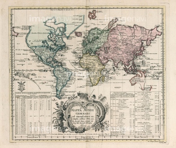
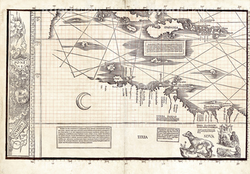
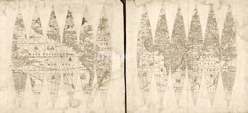
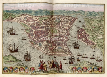
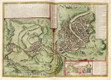
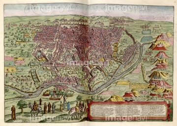
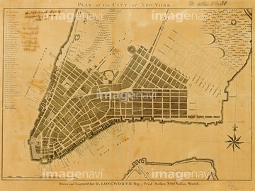
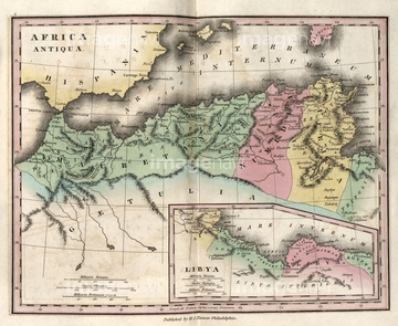
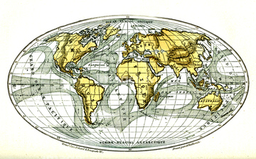
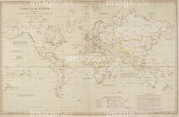
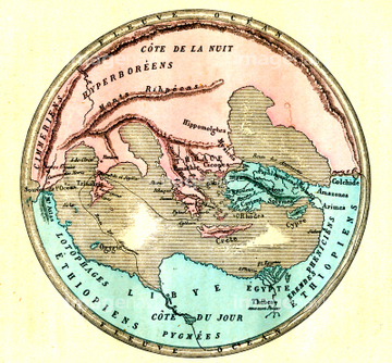
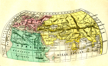
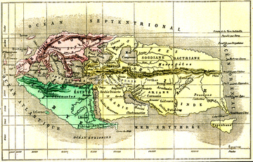
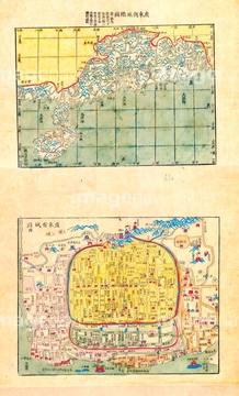
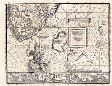
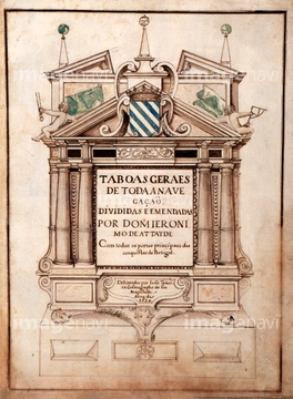
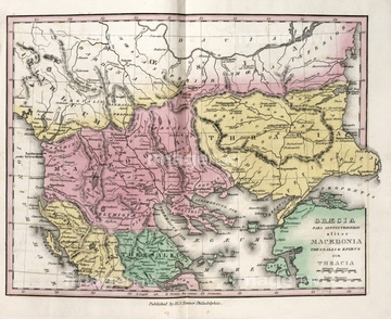
この検索結果には、Map of Northwest Africa, 1590、Map of New York City, 1821、Sargasso Sea, 1891 map、Section of Waldseemuller's Carta Marina, 1516、Map of Australia, 1826、Plan of Cape Town, South Africa, in 1767などが含まれています。
64109446
64109434
64109437
64109435
64109436
64109445
64120523
64097786
64109455
64116814
64109451
64109457
64109411
64233301
64109418
64178415
64109456
64131500
64116142
64116143

64181202
64119864
64109782
64116178
64120023
64109387
64120526
64149787
64212664
64109414
64168234
64109425
64116818
64116821
64217859
64116174
64116159
64116160
64116162

64116163
64109404
64116158
64042744
64116177
64159602
64116819
64047550
64053073
64053075
64244125
64252924
64089902
64120524
64116170
64046199
64167766
64167768
64257935
64178414
64178419
64181203
64109416

64109420
64203132
64148850
64097771
64120021
64120022
64124721
64107450
64107451
64107452
64107453
64107454
64116817
64248339
64142661
64109386
64116176
64109432
64190416
64116811
64116816
64045245
64045821
64046200
64046201
64087009
64096848
64220145
64166546


64049137
64088155
64109392
64257937
64119850
64089082
64097776
64127185
64162609
64244370
64250690
64116135
64045219
64045220
| 次ページ |
