HOME > 写真 > 地図・衛星写真 > 衛星写真 > 環境問題
3,272件の写真素材が検索されました。
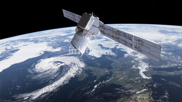
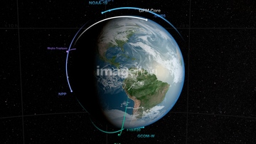
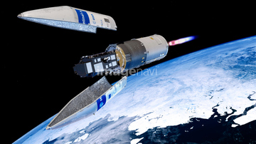
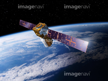
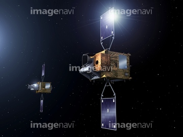
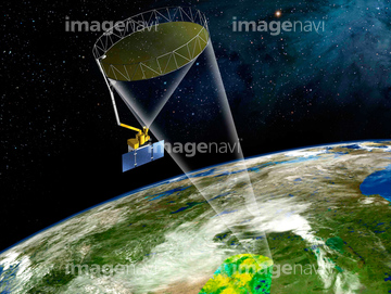
この検索結果には、EarthCARE satellite, illustration、Sentinel-1, illustration、MetOp Second Generation satellites、MetOp-Second Generation satellites、Meteosat view of Earth, illustration、Topex-Poseidon satellite, artworkなどが含まれています。

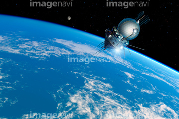
64116458

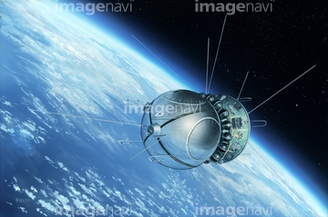
64116457


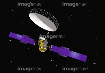
64168208

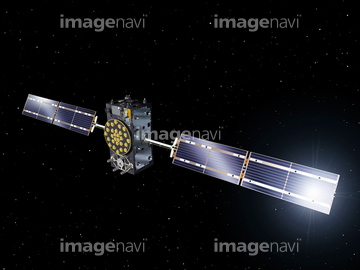
64103757
64097599


64075837

64075839
64075840

64075841
64168473
64173143
64173144


64253228

64045640

64045641

64045653

64045654

64045655

64088896
64088897
64088898
64121962
64262469
64262470
64253216
64253217
64097601
64097602
64097622
64168478
64097616

64218473
64075838
64048528
64121960
64091433
64045642
64111499
64217944
64217945

64046391

64074871
64011489
64043836
64043838
64087097
64168499
64075831


64105772

64089706
64075829
64075830
64075832
64075834
64075835
64075836
64075843
64075844
64064281
64121443
64121445
64044805

64011490

64097591
64097594
64170956
64075082
20543664
20543741
64257903
64257904
64192700
20571405
64075849

64062174

64062175

64044426

64044427


64082371
64078001
64078002
64078003
64078004
64078005
64100644
64121959

64044035

64111650

64255396
64075672
64075673
64075674
64075675
64075676
64075793
64075794
64075884
64075885
64075886
64075887
64075888
64075889
64075890
64075891
64097710
17262366
17262367
17262368
17262371
17263969
17263971
17263979
17263980
17263981
17266911
17266912
17266917
64123560
64123565
64123566
| 次ページ |
