HOME > ژتگ^ > ڈو‚蕨پEŒً’ت > Œً’تƒCƒپپ[ƒW > ’nگ}
10,000Œڈ‚جژتگ^‘fچق‚ھŒںچُ‚³‚ê‚ـ‚µ‚½پB
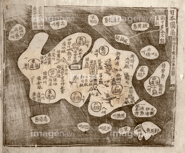
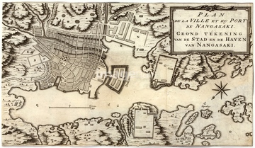
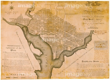
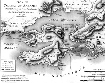
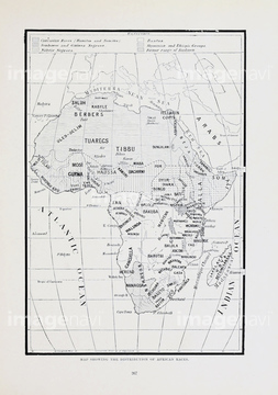
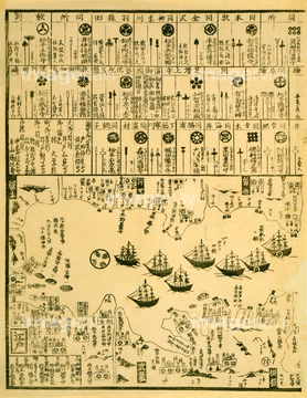
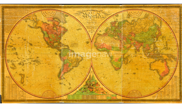
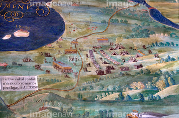
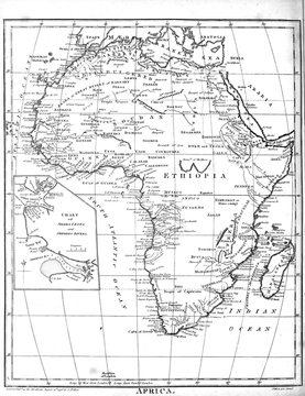
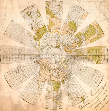
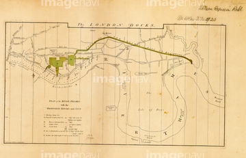
‚±‚جŒںچُŒ‹‰ت‚ة‚حپADutch map of Nagasaki, 18th centuryپAPlan for Washington D.C., USAپAHistorical map of the Battle of SalamisپAConstantinople, historical artworkپAMap of Liberia, 1830پAMap of Ancient Gaul, 19th century‚ب‚ا‚ھٹـ‚ـ‚ê‚ؤ‚¢‚ـ‚·پB
64116818
64116814
64124721
64107450
64107451
64107452
64107453
64107454
64045821
64088155
64116817
64116819
64089037
64045830
64087009
64116815
64050949
64050950
64046155
64046156
64046159
64089035
64089074
64089082
64091457
64044503
64248339

64159602
64047819
64042642
64046201
64089032
64047144
64217859
64043174
64042641
64120523
64116142
64116143
64116821
64089072
64119864
64120021
64120022
64048837
64012220
64046200
64047820
64101111
64261063
64097626

64097794
64089018
64168234
64109434
64109435
64109436
64109437
64109445
64109446
64116135
64120524
64045004
64045852
17287200

17296370
64062602
64045276
64045835
64045836
64047812
64078708
64045819
64149787
64233301

20581935
64095592
64212664
64238672
64045245
64046199
64167766
64167768
64029644
64089892
64045223
64047817
64127059
64096848
64050948
64089010
64053050
64046259
64044987
64044988
64044994
64044995
64045007
64041741
64041742
64041743
64159840
64046157
64053495
17268591
17296371

17296373

64045231
64062704
64120023
64120526
64109418
64109782
64089902
64042744
64056453
64056456
64056457
64043505


64029645

64116163
64109455
64109456
64109457
64116811
64116816
64116159
64056452
64109403

19019066
31195331
| ژںƒyپ[ƒW |
