HOME > 写真 > 地図・衛星写真 > 衛星写真 > 環境問題
10,000件の写真素材が検索されました。
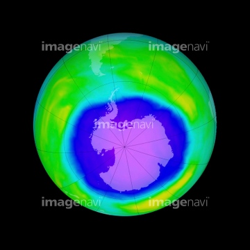
この検索結果には、Antarctic ozone hole maximum, 2008、Battle Glacier, Alaska, satellite image、West Antarctic Ice Sheet melting、Arctic ice minimum extent, 2022、Arctic ice minimum extent, 2020、Arctic ice minimum extent, 2021などが含まれています。


64215904

64088450

64260979

64204970


64106283
64141450
64162892

64178179
64046247
20543664
20543741

64264125

64040007

64040008

64074792
64088702


64041390
64125454


64014421

64116457

64116458
64161003

64040009

64040010

64040013

64074793

64185232

64185233

64185234

64185235
64185237

64185238

64185239

64185240

64185241

64185242

64185243

64185236


64011192
64093901
64255401
64257399
64257411
64204971
64247623

64105772

64058420

64058421

64041383


64044741


64128970


64109527

64109558

64116185


64045653
64109560

64053690
64109467
64109468
64088684
64085886


64073495

64097599

64046391

53112888
53112889
53112890
53112891


64040011

64040012

64040014

64040015

64040016


64116186

64116187

64116188

64200497

64040018

64257529

64087823

64109483

64011203

64011211

64011230


64015154
64154867
64169502

64210700

64075591
64211648
64149139

64149307

64139332


64109422

64217602

64041230

64208339

64045654


64062174

64062175
64093948
64075594
64075595
64075596
64075597

64059717

17200234

64043123

64220039
64100567


64121962


64088667

64088728
64129763

64043083

64242042

64053325

64040980
64077812

64014670
64214492
64088896
64088897
64088898


64084875

64084877
| 次ページ |
