HOME > 写真 > 地図・衛星写真 > 衛星写真 > 災害・気象現象
10,000件の写真素材が検索されました。
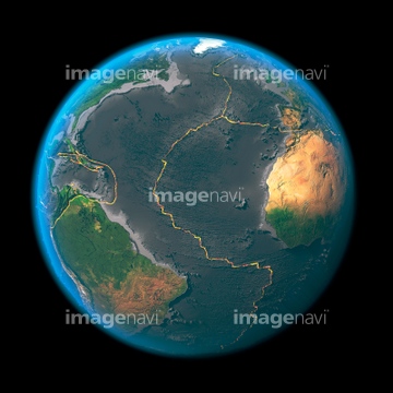
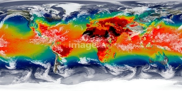
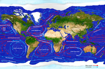
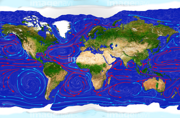
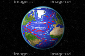
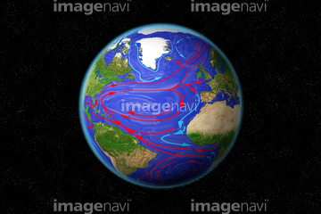
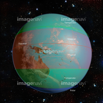
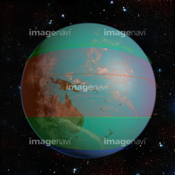
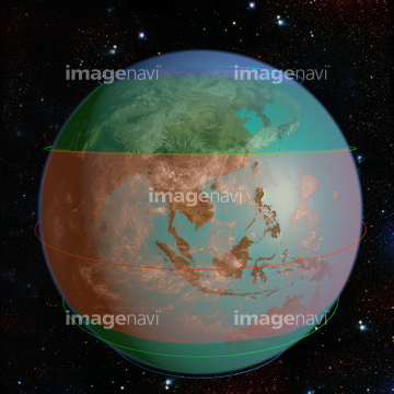
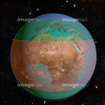
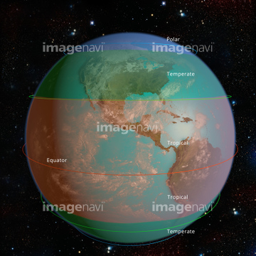
この検索結果には、Earth climate zones, illustration、Global tectonics, north-eastern Atlantic、Global tectonics, north-western Atlantic、Adriatic Sea from space, illustration、Peloponnese from space、Earth from space, illustrationなどが含まれています。
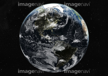
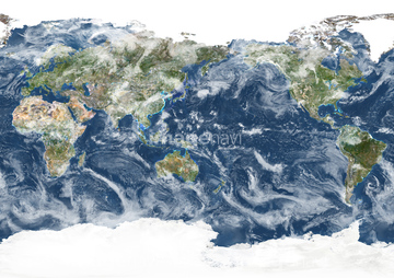
64121442
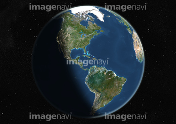
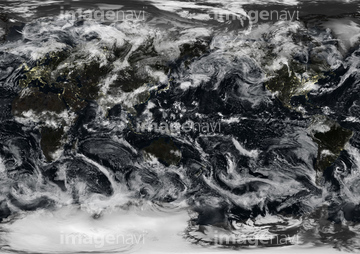
64121445
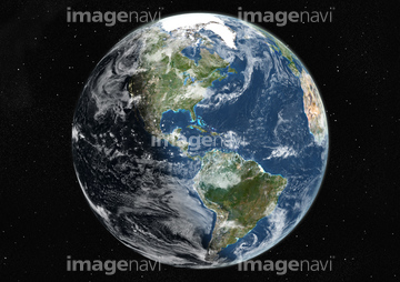
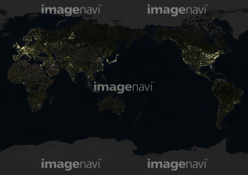
64121441
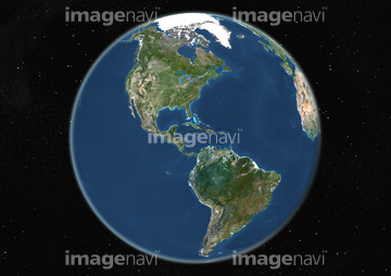
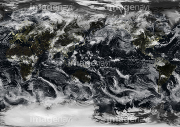
64121440
64121443
64123535
64123536
64123537
64123528
64123534

64123526
64123529
64254088
64123567
64123569
64123570
64123560
64123571
64123565
64123566

64041342
64112158
64078856
64257903
64257904
17262369
17262370
17262371
64096321
64096322
64257886
64258116

64262058
64262059

64262060
64262061
64262062
64262063


64097527
64094285


51450278


17269754

17262366
17262367

64109758
64171614


17262368
64109739
64214492
64097599
17269275

64089706
64173862
64173863
64173864
64173879
64176554
64254515


64062174

64062175

64046391
| 次ページ |
