HOME > 写真 > 自然・風景 > 宇宙 > 地球
10,000件の写真素材が検索されました。
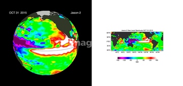
この検索結果には、Frozen Great Lakes, 2014, satellite image、Maximum Arctic sea ice cover, 2015、Ocean surface pH, 2000、Ocean surface pH, 2030、Ocean surface pH, 2050、Ocean-atmosphere CO2 exchange, 2000などが含まれています。


64131456


64109527

64109558


64072059

64072060

64097610

64098666


64109440

64109462

64109509


64098673

64098684

64098688

64098690

64098696


64098702

64079777


64109443

64109465

64086667

64041230

64073664


64011192

64075191


64075196

64075197

64086428


64106283

64109439

64109441

64109442

64109461

64109463

64109464

64109473

64109475

64087874

64109563

64141184


64059340


64059343

64059347

64059349

64059350


64059352

64059353

64059355

64059356

64059357


64098677

64098678


64075684

64109422

64092867

64092868
64098667

64098680

64098681


64091427

64109483

64011221

64011223

64011225


64011229


64085875

64085876

64085879

64085880

64085887

64044426

64044427

64086444


64072484

64072485

64072486

64072487


64072490


64072494

64072495

64075591


64075830


64093933


64073665
64115716
64115717

64058420

64058421

64109433

64109438

64109444

64109460
64109466

64109469
64086385

64263237
64059386
64059714
64109562
64086495
64206258
64206259
64237590

64084877

64218100


64203337
64109467
64109468
64109501

64092866
64087831
64087873


64059362
64059363

64091493
64262469

64040166

64040203

64040204

64040205

64040206

64214492

64047389


64086393

64086443

17200249

17200250
17200251
| 次ページ |
